Máximo Gómez, Cuba
This article is about the Cuban town. For the Cuban general, see Máximo Gómez.
| Máximo Gómez Guanajayabo | |
|---|---|
| Village | |
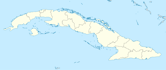 Location of Máximo Gómez in Cuba | |
| Coordinates: 22°54′15″N 81°01′45″W / 22.90417°N 81.02917°WCoordinates: 22°54′15″N 81°01′45″W / 22.90417°N 81.02917°W | |
| Country |
|
| Province | Matanzas |
| Municipality | Perico |
| Population (2011) | |
| • Total | 8,041 |
| Time zone | EST (UTC-5) |
| Area code(s) | +53-52 |
Máximo Gómez is a Cuban village and consejo popular belonging to the municipality of Perico, in Matanzas Province. As of 2011 its population was of 8,041.[1]
History
The town was founded in 1770 under the name Guanajayabo. The name was changed in honour of the independence war leader Máximo Gómez.
From 1902 until 1927 it was part of the municipality of Martí.[1] From 1927 was the seat of its own municipality that included the communities of Rancho del Medio and Sabanilla de la Palma[2] until 1976, when its territories were split in the municipalities of Martí and Perico.[1]
References
- 1 2 3 (Spanish) Máximo Gómez (Perico) on EcuRed
- ↑ Municipality webpage (Spanish)
 |
Cárdenas | Martí | | |
| |
Los Arabos | |||
| ||||
| | ||||
| Jovellanos | Perico | Colón |
This article is issued from Wikipedia - version of the 10/19/2013. The text is available under the Creative Commons Attribution/Share Alike but additional terms may apply for the media files.