Maban County
| Maban | |
|---|---|
| County | |
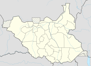 Maban Location in South Sudan | |
| Coordinates: SS 9°58′45″N 33°45′0″E / 9.97917°N 33.75000°ECoordinates: SS 9°58′45″N 33°45′0″E / 9.97917°N 33.75000°E | |
| Country | South Sudan |
| State | Upper Nile |
Maban was a county in Upper Nile state, South Sudan. [1] The county capital is the town of Bunj.
Four rivers flow through Maban County: the Ahmar, the Yale, the Tombak, and the Yabus. In September 2012, heavy rains and flooding were experienced in the Tombak floodplain. [2]
Refugee camps
Several refugee camps are currently located in Maban. They are largely occupied by people fleeing armed conflict in Sudan's Blue Nile and South Kordofan states. The largest camps are, from west to east: Kaya (formerly Jamam; moved due to flooding), Yosuf Batil (known locally as Batil), Gendrassa (directly abutting Batil), and Doro (near the town of Bunj). The camps are supported by the World Food Programme, initially through food air drops, although as of 2013 several NGOs are providing more stable relief services. [3]
As of late 2012, the camps held an estimated 108,000 refugees. In September 2012, a Hepatitis E outbreak was reported in the camps. [4]
References
- ↑ "Referendum results: Upper Nile". Southern Sudan Referendum 2011. Retrieved 2012-01-01.
- ↑ South Sudan News Agency (September 12, 2012). "South Sudan: UNHCR Concerned for Refugees' Welfare As Rains Pound Maban County". Retrieved September 15, 2012.
- ↑ "WFP Food Air Drop Zone in Maban County: Upper Nile, South Sudan" (PDF). August 23, 2012. Retrieved September 15, 2012.
- ↑ Hereward Holland (September 13, 2012). "Hepatitis outbreak kills 16 in South Sudan refugee camps". Retrieved September 15, 2012.
