Mackenzie Airport
| Mackenzie Airport | |||||||||||
|---|---|---|---|---|---|---|---|---|---|---|---|
|
IATA: none – ICAO: CYZY – WMO: 71290 | |||||||||||
| Summary | |||||||||||
| Airport type | Public | ||||||||||
| Operator | District of Mackenzie | ||||||||||
| Location | Mackenzie, British Columbia | ||||||||||
| Time zone | PST (UTC−08:00) | ||||||||||
| • Summer (DST) | PDT (UTC−07:00) | ||||||||||
| Elevation AMSL | 2,265 ft / 690 m | ||||||||||
| Coordinates | 55°17′58″N 123°08′00″W / 55.29944°N 123.13333°WCoordinates: 55°17′58″N 123°08′00″W / 55.29944°N 123.13333°W | ||||||||||
| Map | |||||||||||
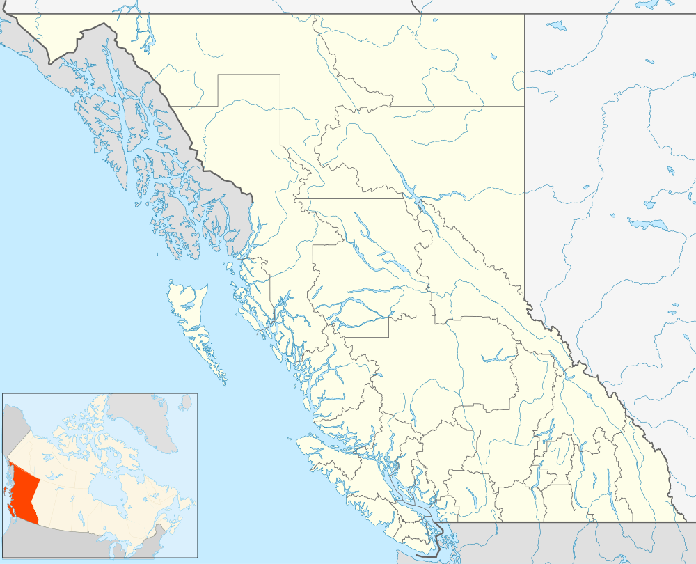 CYZY Location in British Columbia | |||||||||||
| Runways | |||||||||||
| |||||||||||
Mackenzie Airport, (ICAO: CYZY), is located 1 nautical mile (1.9 km; 1.2 mi) north of Mackenzie, British Columbia, Canada.
References
- ↑ Canada Flight Supplement. Effective 0901Z 15 September 2016 to 0901Z 10 November 2016
- ↑ Synoptic/Metstat Station Information
External links
- Past three hours METARs, SPECI and current TAFs for Mackenzie Airport from Nav Canada as available.
| By name | |
|---|---|
| By location indicator | |
| By province/territory | |
| By region | |
| National Airports System | |
| Related | |
| |
This article is issued from Wikipedia - version of the 12/4/2016. The text is available under the Creative Commons Attribution/Share Alike but additional terms may apply for the media files.