Magic Mountain Resort
| Magic Mountain | |
|---|---|
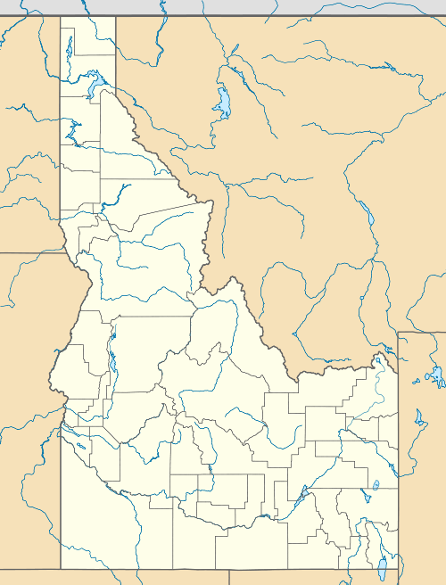 Magic Mountain Location in Idaho | |
| Location |
Sawtooth National Forest Twin Falls Co., Idaho |
| Nearest city |
Rogerson Twin Falls |
| Coordinates | 42°11′17.9″N 114°17′10.0″W / 42.188306°N 114.286111°WCoordinates: 42°11′17.9″N 114°17′10.0″W / 42.188306°N 114.286111°W |
| Vertical | 700 ft. - (213 m) |
| Top elevation | 7240 ft. - (2206 m) |
| Base elevation | 6540 ft. - (1993 m) |
| Skiable area | 120 acres (0.49 km2) |
| Runs | 11 |
| Longest run | 1 mile - (1.6 km) |
| Lift system |
1 double chair 1 poma lift 1 rope tow |
| Snowfall | 230 inches (580 cm) |
| Snowmaking | none |
| Night skiing | none |
| Website | Magic Mountain |
Magic Mountain Resort is a modest alpine ski area in south central Idaho, in a southern unit of the Sawtooth National Forest. It is east of Rogerson on the eastern edge of Twin Falls County, 18 miles (29 km) northwest of the Nevada-Utah border with Idaho.
The ski area has a summit elevation of 7240 feet (2206 m) above sea level with a vertical drop of 700 feet (213 m). It has a double chairlift, a poma lift, and a rope tow. The 120 acres (49 hectares) of skiable terrain is rated at 30% easiest, 25% more difficult, 20% most difficult, and 25% experts only. Magic Mountain also has a snow tubing hill.
The average annual snowfall is 230 inches (584 cm). Outside of holidays, the ski area is open four days a week, Thursday through Sunday, and does not have night skiing.
External links
- Magic Mountain - official site
- Ski Idaho.us - official state tourism site
- Idaho Ski Resorts.com - Magic Mountain
- On the Snow.com - Magic Mountain
- Topographic map and aerial photo from USGS via Microsoft Research Maps