Makoua Airport
| Makoua Airport | |||||||||||
|---|---|---|---|---|---|---|---|---|---|---|---|
| IATA: MKJ – ICAO: FCOM | |||||||||||
| Summary | |||||||||||
| Serves | Makoua, Republic of the Congo | ||||||||||
| Elevation AMSL | 1,293 ft / 394 m | ||||||||||
| Coordinates | 0°01′15″S 15°34′35″E / 0.02083°S 15.57639°ECoordinates: 0°01′15″S 15°34′35″E / 0.02083°S 15.57639°E | ||||||||||
| Map | |||||||||||
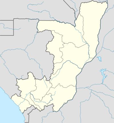 MKJ Location of airport in the Republic of the Congo | |||||||||||
| Runways | |||||||||||
| |||||||||||
Makoua Airport (IATA: MKJ, ICAO: FCOM) is an airport serving the town of Makoua in the Cuvette Department, Republic of the Congo. The runway is 4 kilometres (2.5 mi) west of the town.
The Makoua VOR (Ident:CF) is located on the field.[3]
See also
 Republic of the Congo portal
 Aviation portal
- List of airports in the Republic of the Congo
- Transport in the Republic of the Congo
References
- ↑ Airport information for MKJ at Great Circle Mapper.
- ↑ Google Maps - Makoua
- ↑ SkyVector Aeronautical Charts
External links
This article is issued from Wikipedia - version of the 12/4/2016. The text is available under the Creative Commons Attribution/Share Alike but additional terms may apply for the media files.