Malem Hodar
| Malem Hodar | |
|---|---|
|
View of Malem Hodar | |
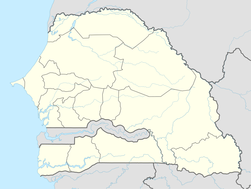 Malem Hodar Location within Senegal | |
| Coordinates: SN 14°05′18″N 15°17′40″W / 14.08833°N 15.29444°WCoordinates: SN 14°05′18″N 15°17′40″W / 14.08833°N 15.29444°W | |
| Country |
|
| Region | Kaffrine |
| Département | Malem Hodar |
| Government | |
| • Mayor | Abdou Ndao |
| Area | |
| • Total | 625.5 km2 (241.5 sq mi) |
| Elevation | 41 m (135 ft) |
| Population (2005) | |
| • Total | 30,000 |
| Time zone | GMT (UTC+0) |

Malem Hodar is a rural commune (commune rurale) in Senegal. It is the principal municipality and administrative centre of the Malem Hodar Department of the Kaffrine Region.
A decree of 1972 led to the creation of rural communities (communautés rurales) in 1976, since when Malem Hodar was elevated in 2008 to a commune.
History
In 2008 Malem Hodar was created a commune at the same time as the creation of the département of Malem Hodar, for which it is the administrative centre.[1]
Geography
The commune of Malem Hodar is located in the south-east of the arondissement of the same name, covering an area of 625.5 sq. km and encompassing 64 villages. The population in 2002 amounted to 29,570 inhabitants with a growth rate of 2.25%. The rural community density is 47 inhabitants per km².
See also
References
- ↑ Order Number 2008-747 of 10 July 2008 establishing departments and districts , Official Gazette , number 6446, 31 December 2008