Malvern Wells
| Malvern Wells | |
 Village centre, Malvern Wells |
|
 Malvern Wells |
|
| Population | 3,196 |
|---|---|
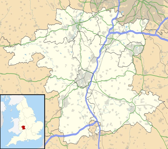
| OS grid reference | SO773422 |
| Civil parish | Malvern Wells |
| District | Malvern Hills |
| Shire county | Worcestershire |
| Region | West Midlands |
| Country | England |
| Sovereign state | United Kingdom |
| Post town | MALVERN |
| Postcode district | WR14 |
| Police | West Mercia |
| Fire | Hereford and Worcester |
| Ambulance | West Midlands |
| EU Parliament | West Midlands |
| UK Parliament | West Worcestershire |
|
|
Coordinates: 52°04′43″N 2°19′56″W / 52.078479°N 2.332357°W
Malvern Wells is a village and civil parish south of Great Malvern in the Malvern Hills district of Worcestershire, England. The parish of Malvern Wells, once known as South Malvern, was formed in 1894 from parts of the civil parishes of Hanley Castle, Welland, and the former parish of Great Malvern, and owes its development to the 19th century boom years of Malvern as a spa town. Malvern Wells is a centre of commercial bottling of Malvern water.
The population of the parishes of Malvern Wells and Little Malvern was recorded in 2011 as 3,196.[1]
Location
Malvern Wells lies on the eastern slopes of the Malvern Hills south of Great Malvern (the town centre of Malvern) and north of Little Malvern. It takes its name from the Malvern water issuing from springs on the hills, principally from the Holy Well and the Eye Well.[2] The northern end of the parish includes the Wyche Cutting, the historic salt route pass through the hills, which form the border between the counties of Herefordshire (on the western side) and Worcestershire. The actual cutting through the granite hill face is at a height of 856 feet above sea level.
The northern part of the parish includes the "Fruitlands" housing estate, effectively a suburb of Malvern. In the southern part of the parish is the settlement of Upper Welland. To the east of the village of Malvern Wells, and also in the parish, is the Three Counties Showground.
Wells

In 1558 Queen Elizabeth I granted the land to John Hornyold, lord of the manor, under the premise that any pilgrim or traveller should be able to draw rest and refreshment from the Holy Well, a covenant which still stands today. The first record of spring water being bottled in the UK is from 1622, at Holy Well. Holy Well was later used by the Schweppes Company as the source for bottled Malvern Water sold at the Great Exhibition of 1851.[3]
Amenities
All Saints, the parish church, was built by a local builder, William Porter, to a design by Troyte Griffith – a friend of Edward Elgar who is depicted in the "Enigma Variations". The church was consecrated on 19 November 1903. There is evidence to suggest that Elgar composed part of the "Enigma Variations" in the church, but his offer of the original manuscript of his oratorio "The Apostles", as a gift to the church, was refused by the Anglican church authorities because Elgar was a Roman Catholic and the oratorio was heavily based in that tradition. Next to the church is the Wyche School; "Land of Hope and Glory", set to Elgar's Pomp and Circumstance March No. 1, was first performed here in the presence of Elgar. In later life Elgar came to dislike the nationalistic overtones which became associated with the setting.
The village has a petrol station, a convenience store, a post office and several other small businesses.
Education
Abbey College, a secondary school and English Language centre for primarily international students, is based at 253 Wells Road. Primary education in the parish is provided by Malvern Wells Church of England School and the Wyche Church of England School and that feed the two Malvern secondary schools of The Chase in Barnards Green, and Dyson Perrins in Malvern Link.[4] Wells House School, a preparatory school for boys, closed in 1991.[5]
Transport
The nearer of the two Malvern railway stations to the village is Great Malvern on the Worcester to Hereford line. It has services to Birmingham and to London Paddington station. The village is served by a daily long-distance coach service between Worcester and London Victoria.[6] There are regular bus links with Great Malvern and Malvern Link.[7]
Railway history
Malvern Wells railway station, as part of the Worcester and Hereford Railway (which became part of the West Midland Railway then the Great Western Railway), opened on 25 May 1860, then closed again on 19 January 1861 before reopening 1 February 1864. It was closed finally on 5 April 1965.[8]
Previously served by Malvern Hanley Road railway station on the Tewkesbury and Malvern Railway was a branch of the Midland Railway which ran from Ashchurch via Tewkesbury to Great Malvern. This opened on 16 May 1864. With the regrouping in 1923, it became part of the London Midland and Scottish Railway.
The section of line from Malvern to Upton-upon-Severn was closed in December 1952. The remainder closed to passengers on 14 August 1961. Freight continued to be carried to Upton until July 1963 and as far as Tewkesbury until December 1964.[9]
Notable people
- The novelist and travel writer Georgiana Chatterton died here on 6 February 1876.[10]
- Edward Elgar, composer. Elgar and his wife leased a house they named "Craig Lea", an anagram of the family initials, at 86 Wells Road, Malvern Wells.[11]
- Rick Stein (born 1947), the eminent chef, attended Wells House school in Malvern Wells.[12]
References
- ↑ Neighbourhood Statistics
- ↑ Malvern Wells PC – wells Retrieved 14 October 2009
- ↑ Official Malvern Water brochure, Coca-Cola Enterprises Ltd. (2009)
- ↑ Malvern Wells PC – education Retrieved 14 October 2009
- ↑ School etc. Retrieved 14 February 2016.
- ↑ Timetable Retrieved 14 February 2016.
- ↑ Timetable, e. g. Retrieved 14 February 2016.
- ↑ Butt, R.V.J., (1995) The Directory of Railway Stations, Yeovil: Patrick Stephens
- ↑ "Upton's Railway Station"Welcome to Upton on Severn; Retrieved 28 September 2016
- ↑ ODNB entry on Chatterton, Henrietta Georgiana Marcia Lascelles. Retrieved 13 November 2012. Pay-walled
- ↑ Collett, Pauline (1981). Elgar lived here. London: Thames Publishing. p. 49. ISBN 0-905210-14-X.
- ↑ The Independent Retrieved 14 February 2016.
External links
| Wikimedia Commons has media related to Malvern Wells. |