Mandallaz mountain
| Mandallaz mountain | |
|---|---|
 Mandallaz mountain | |
| Highest point | |
| Elevation | 929 m (3,048 ft) |
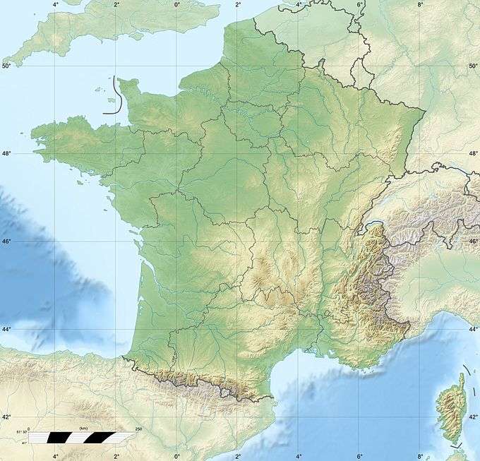
| Coordinates | 45°53′56″N 6°06′46″E / 45.898779°N 6.112776°ECoordinates: 45°53′56″N 6°06′46″E / 45.898779°N 6.112776°E |
| Geography | |
| Location | Haute-Savoie, France |
| Parent range | Rhône-Alpes |
Geographically, the Mandallaz mountain is a small pre-Alpine massif 8 kilometres (5.0 mi) long by 3–4 km (1.9–2.5 mi) wide, between 500 metres (1,600 ft) and 929 metres (3,048 ft) high (the top is called "The Head"), north-west of Annecy in the Haute-Savoie department in the Rhône-Alpes region in south-eastern France. The Mandallaz has a mirror break, which provoked an earthquake in 1996.
This article is issued from Wikipedia - version of the 12/6/2015. The text is available under the Creative Commons Attribution/Share Alike but additional terms may apply for the media files.