Mandrosonoro
| Mandrosonoro | |
|---|---|
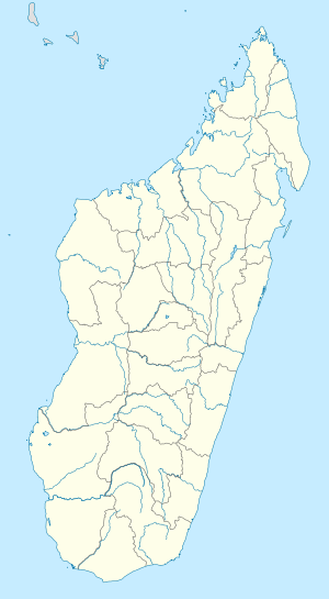 Mandrosonoro Location in Madagascar | |
| Coordinates: 20°35′S 46°0′E / 20.583°S 46.000°E | |
| Country |
|
| Region | Amoron'i Mania |
| District | Ambatofinandrahana |
| Elevation[1] | 924 m (3,031 ft) |
| Population (2001)[2] | |
| • Total | 16,000 |
| Time zone | EAT (UTC3) |
Mandrosonoro is a town and commune in Madagascar. It belongs to the district of Ambatofinandrahana, which is a part of Amoron'i Mania Region. The population of the commune was estimated to be approximately 16,000 in 2001 commune census.[2]
Primary and junior level secondary education are available in town. The majority 90% of the population of the commune are farmers, while an additional 5% receives their livelihood from raising livestock. The most important crops are rice and peanuts, while other important agricultural products are beans, maize and cassava. Services provide employment for 5% of the population.[2]
Geography
This town lies at the Route nationale 35 from Morondava to Ivato in the West of Madagascar. It is at a distance of 208 km to Ivato, Ambositra, 248 km to Morondava, 149 km to Ankilizato, Mahabo and 72 km from Malaimbandy.[3]
References and notes
- ↑ Estimated based on DEM data from Shuttle Radar Topography Mission
- 1 2 3 "ILO census data". Cornell University. 2002. Retrieved 2008-05-11.
- ↑ Atlas Mondial, France Loisir, page 159

Coordinates: 20°35′S 46°0′E / 20.583°S 46.000°E