Mangwal, Afghanistan
| Mangwal | |
|---|---|
| village | |
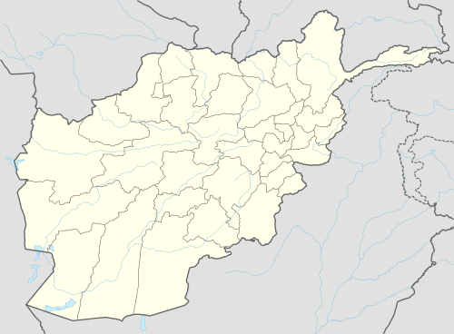 Mangwal Location in Afghanistan | |
| Coordinates: 34°36′7″N 70°49′41″E / 34.60194°N 70.82806°E | |
| Country |
|
| Elevation | 2,434 ft (742 m) |
Mangwal is a village in Khas Kunar District, Kunar Province, Afghanistan. It is located at 34°36'7N 70°49'41E with an altitude of 742 metres (2437 feet).[1]
References
Coordinates: 34°36′7″N 70°49′41″E / 34.60194°N 70.82806°E
This article is issued from Wikipedia - version of the 12/18/2013. The text is available under the Creative Commons Attribution/Share Alike but additional terms may apply for the media files.