Mansfield Center Historic District
|
Mansfield Center Historic District | |
|
The Mansfield General Store | |
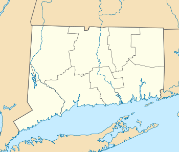  | |
| Location | Storrs Rd., Mansfield, Connecticut |
|---|---|
| Coordinates | 41°46′37″N 72°11′55″W / 41.77694°N 72.19861°WCoordinates: 41°46′37″N 72°11′55″W / 41.77694°N 72.19861°W |
| Area | 200 acres (81 ha) |
| Built | C 1694, 1740 and 1836 |
| Architect | Fitch,Edwin ; Multiple |
| Architectural style | Colonial; Greek Revival; Federal |
| NRHP Reference # | 72001337[1] |
| Added to NRHP | February 23, 1972 |

Mansfield Center Historic District is a 200-acre (81 ha) historic district in Mansfield, Connecticut that was listed on the National Register of Historic Places in 1972. It represents the first settled area of the town of Mansfield and is preserved as a mostly intact pre-industrial rural village. It consists of 21 contributing buildings and seven non-contributing buildings with architecture from the 18th and 19th centuries, including examples of Colonial, Greek Revival, and Federal architecture. The district lies along Route 195 extending from Chaffeeville Road in the north to Centre Street in the south. It includes the Eleazar Williams House which is separately NRHP-listed. The oldest structure, the Old Uncle Hall Place, dates from the original settlement period c.1694. The largest house in the district is the Fitch Mansion built in 1836. It was designed and built by Colonel Edwin Fitch.[1][2]
See also
References
- 1 2 National Park Service (2009-03-13). "National Register Information System". National Register of Historic Places. National Park Service.
- ↑ Susan Babbitt (January 3, 1972). "NRHP Inventory-Nomination: Mansfield Center Historic District" (PDF). National Park Service. and Accompanying 10 photos, from 1970 and 1971
| Lists by county |  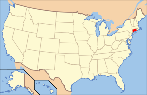 | |
|---|---|---|
| Lists by city or town | ||
| Other lists | ||