Mantralayam
| Mantralaya మంత్రాలయం ಮಂತ್ರಾಲಯ | |
|---|---|
| Village | |
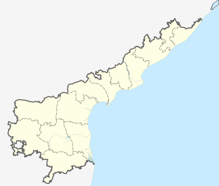
 Mantralaya Location in Andhra Pradesh, India | |
| Coordinates: 15°56′30″N 77°25′41″E / 15.94167°N 77.42806°ECoordinates: 15°56′30″N 77°25′41″E / 15.94167°N 77.42806°E | |
| Country |
|
| State | Andhra Pradesh |
| District | Kurnool |
| Population (2011) | |
| • Total | 53,819[1] |
| Languages | |
| • Official | Telugu[2] |
| • UnOfficial | Kannada |
| Time zone | IST (UTC+5:30) |
| PIN | 518345 |
| Telephone code | 08512 |
| Vehicle registration | AP21 |
| Nearest city | Kurnool |
| Climate | Moderate (Köppen) |
Mantralayam is a constituency in Kurnool district in Andhra Pradesh, India. It lies on the banks of the Tungabhadra river on the border with neighbouring Karnataka state.
Transport
The Andhra Pradesh State Road Transport Corporation operates bus services from Mantralayam bus station.[3] The nearest railway station is Mantralaya Road.
References
- ↑ http://censusindia.gov.in/NprStateReport.aspx?stcd=28&distcd=21&tslcode=001
- ↑ http://wikiedit.org/India/Mantralayam/260533/
- ↑ "Bus Stations in Districts". Andhra Pradesh State Road Transport Corporation. Retrieved 9 March 2016.
External links
| Wikivoyage has a travel guide for Mantralayam. |
| Wikimedia Commons has media related to Mantralayam. |
This article is issued from Wikipedia - version of the 10/6/2016. The text is available under the Creative Commons Attribution/Share Alike but additional terms may apply for the media files.
