Maroua
| Maroua | |
|---|---|
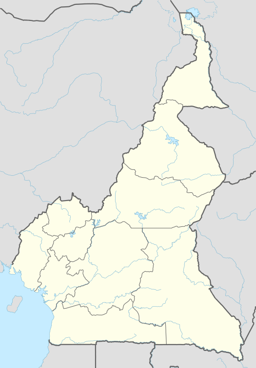 Maroua Location in Cameroon | |
| Coordinates: 10°35′50″N 14°18′57″E / 10.59722°N 14.31583°E | |
| Country |
|
| Province | Far North |
| Department | Diamaré |
| Elevation | 384 m (1,260 ft) |
| Population (2005)(Census) | |
| • Total | 201,371 |
| Area code(s) | 00237 |
Maroua is the capital of the Far North Region of Cameroon, stretching along the banks of the Ferngo and Kaliao Rivers, "in the foothills of the Mandara Mountains."[1]
The city had 201,371 inhabitants at the 2005 Census, and is a centre of cotton industry. The city also has an airport located near the town of Salak, an agricultural school, and ethnographic museum. To the North of the city is the famous Waza National Park. To the South is a large military base home to the BIR rapid intervention force. Mount Maroua dominates the skyline of the city. The predominant religion is Sufi Islam. The University of Maroua is based in the city.
It is well known for its huge fields of ginger, and for the famous liquor of ginger. Inhabitants believe that this liquor is good of sexual health, and gives "lion's power" to men who drink it.
History
The Maroua Declaration, a maritime boundary agreement between Nigeria and Cameroon, was signed in Maroua on 1 June 1975.
In 2013, a malaria outbreak occurred, with "more than 10,000 cases ... reported in the Town of Maroua alone".[2]
On April 4, 2014 two Italian priests and a Canadian nun were kidnapped from the parish of Maroua, in the village of Tchéré.[3] They "were released in the night of May 31 to June 1, 2014."[4]
In June 2014, "a gendarme [military] raid on the Maroua Central Market" resulted in 40 arrests of suspected Boko Haram militants.[5]
Climate
The climate is Sahelian, being hot and dry for most of the year. Köppen-Geiger climate classification system classifies its climate as tropical wet and dry (Aw).
| Climate data for Maroua | |||||||||||||
|---|---|---|---|---|---|---|---|---|---|---|---|---|---|
| Month | Jan | Feb | Mar | Apr | May | Jun | Jul | Aug | Sep | Oct | Nov | Dec | Year |
| Average high °C (°F) | 31.9 (89.4) |
34.9 (94.8) |
38.3 (100.9) |
40.0 (104) |
37.8 (100) |
34.6 (94.3) |
31.6 (88.9) |
30.5 (86.9) |
32.0 (89.6) |
34.8 (94.6) |
34.6 (94.3) |
32.6 (90.7) |
34.5 (94.1) |
| Daily mean °C (°F) | 24.5 (76.1) |
27.3 (81.1) |
30.8 (87.4) |
32.6 (90.7) |
31.3 (88.3) |
28.9 (84) |
26.8 (80.2) |
26.0 (78.8) |
26.7 (80.1) |
28.3 (82.9) |
27.2 (81) |
25.0 (77) |
27.9 (82.2) |
| Average low °C (°F) | 17.1 (62.8) |
19.7 (67.5) |
23.4 (74.1) |
25.6 (78.1) |
24.9 (76.8) |
23.1 (73.6) |
21.9 (71.4) |
21.5 (70.7) |
21.4 (70.5) |
21.3 (70.3) |
19.6 (67.3) |
17.4 (63.3) |
21.4 (70.5) |
| Average precipitation mm (inches) | 0.0 (0) |
0.0 (0) |
16.8 (0.661) |
18.5 (0.728) |
62.7 (2.469) |
102.7 (4.043) |
197.4 (7.772) |
235.2 (9.26) |
131.4 (5.173) |
25.5 (1.004) |
0.0 (0) |
0.0 (0) |
790.2 (31.11) |
| Average precipitation days (≥ 1.0 mm) | 0 | 0 | 0 | 3 | 7 | 10 | 16 | 18 | 13 | 4 | 0 | 0 | 71 |
| Mean monthly sunshine hours | 286.0 | 266.4 | 275.8 | 246.6 | 253.2 | 225.4 | 193.4 | 191.1 | 208.3 | 257.8 | 286.4 | 297.8 | 2,988.2 |
| Source: NOAA[6] | |||||||||||||
References
| Wikimedia Commons has media related to Maroua. |
- ↑ "Maroua (Cameroon)". Encyclopedia Britannica. 2013-09-18. Retrieved 2014-06-29.
- ↑ Moki Edwin Kindzeka (2013-10-24). "Upsurge of Malaria in Cameroon Town". MALARIA.com - VOA. Retrieved 2014-06-29.
- ↑ Piangiani, Gaia (2014-04-05). "2 Italian Priests and a Canadian Nun Are Abducted in Cameroon". New York Times. Retrieved 2014-06-29.
- ↑ "Kidnapped Italian Priests and Canadian Nun Freed in Cameroon". NBC News. 2014. Retrieved 2014-06-29.
- ↑ "Cameroon: 40 Suspected Boko Haram Militants Arrested in Cameroon". VOA News - allAfrica.com:. 2014-06-24. Retrieved 2014-06-29.
- ↑ "Maroua Climate Normals 1961–1990". National Oceanic and Atmospheric Administration. Retrieved March 8, 2015.
Coordinates: 10°35′50″N 14°18′57″E / 10.5971°N 14.3157°E