Masalani
- Masali may also refer to Masalani, Makueni District (another settlement in Kenya)
| Masalani | |
|---|---|
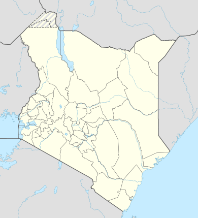 Masalani Location of Masalani | |
| Coordinates: 1°41′53″S 40°07′19″E / 1.698°S 40.122°ECoordinates: 1°41′53″S 40°07′19″E / 1.698°S 40.122°E | |
| Country | Kenya |
| County | Garissa County |
| Time zone | EAT (UTC+3) |
Masalani is a settlement in Garissa County, Kenya. It was previously the headquarters of the former Ijara District. It is located on the Eastern shores of Tana River, 30 kilometres south of Hola and 60 kilometres north of Garsen [1]
Administratively, it is one of four locations in the Masalani division[2] Masalani is also a ward in Ijara Constituency and Ijara County Council.[3]
It is normally dominated by the Somali pastoralists of Darod Samawadal clan. The two main sub-clans of Samawadal are Re-Mohamed and Abdalla.
References
- ↑ Rough Guide Map - Kenya
- ↑ UN Office for the Coordination of Humanitarian Affairs (OCHA): Kenya_AdminLevels_1-4
- ↑ Electoral Commission of Kenya: Registration centres by electoral area and constituency
This article is issued from Wikipedia - version of the 9/23/2015. The text is available under the Creative Commons Attribution/Share Alike but additional terms may apply for the media files.