McGillivray Ridge
| McGillivray Ridge | |
|---|---|
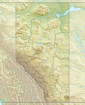 McGillivray Ridge Location in Alberta and British Columbia | |
| Highest point | |
| Elevation | 2,697 m (8,848 ft) [1] |
| Coordinates | 52°23′30″N 118°10′30″W / 52.39167°N 118.17500°WCoordinates: 52°23′30″N 118°10′30″W / 52.39167°N 118.17500°W |
| Geography | |
| Location |
Alberta British Columbia |
| Topo map | NTS 83D/08 |
| Climbing | |
| First ascent | 1893 by L.Q. Coleman, L. B. Stewart |
McGillivray Ridge is located on the border of Alberta and British Columbia. It was named by Gabriel Franchere after McGillivray, William.[1]
See also
- List of peaks on the British Columbia-Alberta border
- Mountains of Alberta
- Mountains of British Columbia
References
This article is issued from Wikipedia - version of the 12/25/2015. The text is available under the Creative Commons Attribution/Share Alike but additional terms may apply for the media files.