Melville Air Station
| Melville Air Station | |
|---|---|
| Part of Pinetree Line | |
| Labrador, Canada | |
 | |
| Coordinates | 53°17′44.90″N 060°32′22.59″W / 53.2958056°N 60.5396083°W |
| Type | Radar Station |
| Code | N-24 |
| Site information | |
| Controlled by |
Northeast Air Command Aerospace Defense Command |
| Site history | |
| Built | 1953 |
| Built by | United States Air Force |
| In use | 1953-1988 |
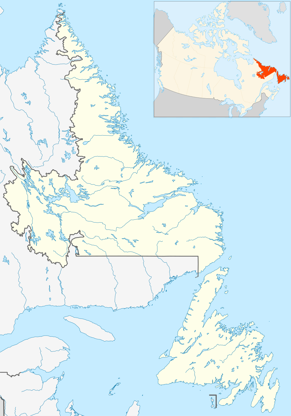
Melville Air Station (ADC ID: N-24) is a closed General Surveillance Radar station. It is located on the summit of Dome Mountain, 5.4 miles (8.7 km) west of CFB Goose Bay, Newfoundland and Labrador.[1] It was closed in 1988.
History
The site was established in 1953 as a General Surveillance Radar station, funded by the United States Air Force. It was used initially by the Northeast Air Command, which stationed the 641st Aircraft Control and Warning Squadron on the station on 1 November 1957. The station functioned as a Ground-Control Intercept (GCI) and warning station. As a GCI station, the squadron's role was to guide interceptor aircraft toward unidentified intruders picked up on the unit's radar scopes.
It was equipped with the following radars:
- Search Radar: AN/FPS-3C, AN/FPS-502, AN/FPS-20A, AN/FPS-87A, AN/FPS-93A, AN/CPS-6B
- Height Radar: AN/TPS-502, AN/FPS-6B, AN/FPS-90
The station was reassigned to the USAF Air Defense Command on 1 April 1957, and was given designation "N-24".[2]
In 1988, the USAF transferred control of the site to the Canadian Forces. It was inactivated and closed.
USAF units and assignments
Units:
- 641st Aircraft Control and Warning Squadron, Activated at Grenier AFB, New Hampshire 26 May 1953
- Moved to Melville Air Station, 1 November 1957
- Discontinued 30 June 1971
Assignments
- 64th Air Division, 1 August 1953
- 4732d Air Defense Group, 1 April 1957
- Goose Air Defense Sector, 1 April 1960
- 37th Air Division, 1 April 1966
- 21st Air Division, 31 March 1970 – 30 June 1971
References
![]() This article incorporates public domain material from the Air Force Historical Research Agency website http://www.afhra.af.mil/.
This article incorporates public domain material from the Air Force Historical Research Agency website http://www.afhra.af.mil/.
- A Handbook of Aerospace Defense Organization 1946 - 1980, by Lloyd H. Cornett and Mildred W. Johnson, Office of History, Aerospace Defense Center, Peterson Air Force Base, Colorado
- Winkler, David F. (1997), Searching the skies: the legacy of the United States Cold War defense radar program. Prepared for United States Air Force Headquarters Air Combat Command.
