Menadarva
| Menadarva | |
| Cornish: Merther Derwa | |
 The bridge over the Red River at Menadarva |
|
 Menadarva |
|
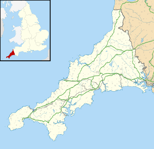
| OS grid reference | SW614415 |
|---|---|
| Civil parish | Camborne |
| Unitary authority | Cornwall |
| Ceremonial county | Cornwall |
| Region | South West |
| Country | England |
| Sovereign state | United Kingdom |
| EU Parliament | South West England |
Coordinates: 50°13′30″N 5°20′49″W / 50.225°N 5.347°W
Menadarva (Cornish: Merther Derwa, meaning grave of St Derwa) is a hamlet in the parish of Camborne, Cornwall, England, UK.[1][2]
The Norman font of the church of All Saints Tuckingmill came from the medieval chapel of St Derwa at Menadarva.[3][4]
References
- ↑ Ordnance Survey: Landranger map sheet 203 Land's End & Isles of Scilly (St Ives & Lizard Point) (Map). Ordnance Survey. 2009. ISBN 978-0-319-23289-7.
- ↑ Menadarva; Explore Britain
- ↑ Pevsner, N. (1970) Cornwall; 2nd ed., revised by E. Radcliffe. Harmondsworth: Penguin; p. 236
- ↑ Cornish Church Guide (1925) Truro: Blackford
Cornwall Portal | |
| Unitary authorities | |
| Major settlements |
|
| Rivers | |
| Topics | |
This article is issued from Wikipedia - version of the 10/20/2016. The text is available under the Creative Commons Attribution/Share Alike but additional terms may apply for the media files.