Mentada
| Mentada మెంటాడ | |
|---|---|
| Village | |
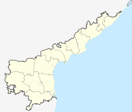
 Mentada  Mentada Location in Andhra Pradesh, India | |
| Coordinates: 18°19′00″N 83°14′00″E / 18.3167°N 83.2333°ECoordinates: 18°19′00″N 83°14′00″E / 18.3167°N 83.2333°E | |
| Country | India |
| State | Andhra Pradesh |
| District | Vizianagaram |
| Elevation | 104 m (341 ft) |
| Languages | |
| • Official | Telugu |
| Time zone | IST (UTC+5:30) |
| PIN | 535 273 |
| Vehicle registration | AP |
Mentada is a village in Vizianagaram district of the Indian state of Andhra Pradesh.[1]
Geography
Mentada is located at 18°19′00″N 83°14′00″E / 18.3167°N 83.2333°E.[2] It has an average elevation of 104 meters (344 ft). This village is located in Kandivalasa river basin.
Demography
Mentada mandal had a population of 49,071 in 2001. Males constitute 24,355 and females 24,716. The average literacy rate is 38%. Male literacy rate is 49% and that of females 27%.
References
- ↑ "Mandal wise list of villages in Vizianagaram district" (PDF). Chief Commissioner of Land Administration. National Informatics Centre. Archived from the original (PDF) on 10 December 2014. Retrieved 23 December 2015.
- ↑ Falling Rain Genomics.Mentada
This article is issued from Wikipedia - version of the 9/16/2016. The text is available under the Creative Commons Attribution/Share Alike but additional terms may apply for the media files.