Menunketesuck Island
| Menunketesuck Island | |
|---|---|
 Menunketesuck Island | |
| Coordinates: 41°15′50″N 72°27′52.14″W / 41.26389°N 72.4644833°WCoordinates: 41°15′50″N 72°27′52.14″W / 41.26389°N 72.4644833°W | |
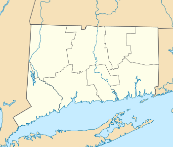
| Country | United States |
| State | Connecticut |
| County | Middlesex |
| Town | Westbrook |
| Elevation | 3 ft (1 m) |
| Population | |
| • Total | 0 |
Menunketesuck Island, also known as Menunketesuck Point, is an island in Long Island Sound belonging to the town of Westbrook in Middlesex County, Connecticut.
Geography
Menunketesuck Island consists of approximately 4.6 acres [1] of land, though the actual acreage varies according to the tides. Although the elevation of the island reaches as much as 8 to 10 feet towards the center, the island perimeter consists largely of tidal flats, shoals and sandbars which are exposed at low tide and submerged during high tide.
The narrow island measures approximately 2,100 feet long and 170 feet wide during high tide; length increases to roughly 2,700 feet during low tide, with some portions of the island growing up to 270 feet wide.
During high tide, the northern end of the island lies approximately 700 feet from the shoreline. The distance from the mainland decreases to between 100 and 200 feet during low tide as expansive sandbars and tidal flats are exposed. The island is separated from the mainland by exceptionally shallow water during low tide, such that it can easily be accessed on foot. During high tide, the depth of the water increases to approximately 5 to 8 feet deep.
Conservation
Menunketesuck Island is part of the Salt Meadow Unit of the Stewart B. McKinney National Wildlife Refuge. The National Audubon Society has also dubbed the island an "Important Bird Area".[2]
References
- ↑ Official Westbrook, CT GIS Map and Parcel Database. Retrieved August 12, 2013.
- ↑ "The Islands - Stewart B. McKinney." U. S. Fish & Wildlife Service. U. S. Fish & Wildlife Service, 18 Mar 2013. Web. 12 Aug 2013.