Merowe Airport
| Merowe Airport | |||||||||||
|---|---|---|---|---|---|---|---|---|---|---|---|
| IATA: MWE – ICAO: HSMR | |||||||||||
| Summary | |||||||||||
| Airport type | Public | ||||||||||
| Serves | Merowe | ||||||||||
| Elevation AMSL | 897 ft / 273 m | ||||||||||
| Coordinates | 18°26′35″N 31°50′35″E / 18.44306°N 31.84306°ECoordinates: 18°26′35″N 31°50′35″E / 18.44306°N 31.84306°E | ||||||||||
| Map | |||||||||||
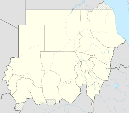 MWE Location of the airport in Sudan | |||||||||||
| Runways | |||||||||||
| |||||||||||
Merowe Airport (IATA: MWE, ICAO: HSMR) is an airport serving the town of Merowe in Sudan. It replaces the smaller Merowe Town airport 3 kilometres (1.9 mi) to the west.[3]
See also
References
- ↑ Google Map - Merowe
- ↑ Airport information for HSMR at Great Circle Mapper.
- ↑ Google Map - Merowe Town Airport
This article is issued from Wikipedia - version of the 12/4/2016. The text is available under the Creative Commons Attribution/Share Alike but additional terms may apply for the media files.