Merriam Peak (Idaho)
| Merriam Peak | |
|---|---|
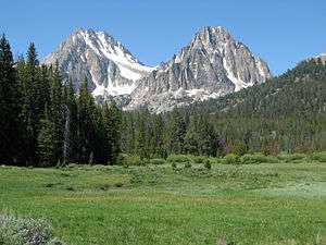 Merriam Peak (right) and Castle Peak (left) | |
| Highest point | |
| Elevation | 10,920 ft (3,330 m) [1] |
| Prominence | 520 ft (160 m) [1] |
| Coordinates | 44°03′08″N 114°34′51″W / 44.052126°N 114.580744°WCoordinates: 44°03′08″N 114°34′51″W / 44.052126°N 114.580744°W [1] |
| Geography | |
 Merriam Peak | |
| Parent range | White Cloud Mountains |
| Topo map | USGS Boulder Chain Lakes |
| Climbing | |
| Easiest route | Scrambling, class 3 |
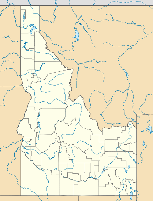
Merriam Peak, at 10,920 feet (3,330 m) is one of the peaks of the White Cloud Mountains of Custer County, Idaho. Merriam Peak is located in the middle of the range just north of Castle Peak, the highest point in the range.[2] The peak is located in the White Clouds roadless area of Sawtooth National Recreation Area.[3][4]
Merriam Peak is in the watershed of Little Boulder Creek, which is a tributary of the East Fork of the Salmon River.[2] Castle Lake is at the peak's southern base, separating it from Castle Peak. Baker Lake is east of the peak, while Noisy and Quiet lakes are north and west of the peak, respectively.
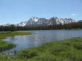
Merriam Peak at center (right of the highest peak) view from Frog Lake
References
- 1 2 3 "Merriam Peak, Idaho". Peakbagger.com. Retrieved 2012-01-16.
- 1 2 Sawtooth National Forest. “Sawtooth National Forest” [map].1:126,720, 1”=2 miles. Twin Falls, Idaho: Sawtooth National Forest, United States Forest Service, 1998.
- ↑ "Merriam Peak". Geographic Names Information System. United States Geological Survey.
- ↑ "White Clouds". Summitpost. Retrieved 2012-05-11.
External links
This article is issued from Wikipedia - version of the 12/21/2015. The text is available under the Creative Commons Attribution/Share Alike but additional terms may apply for the media files.