Minety, Wiltshire
| Minety | |
 The centre of Minety |
|
 Minety |
|
| Population | 1,414 (in 2011)[1] |
|---|---|
| OS grid reference | SU025907 |
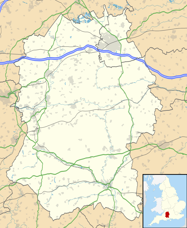
| Unitary authority | Wiltshire |
| Ceremonial county | Wiltshire |
| Region | South West |
| Country | England |
| Sovereign state | United Kingdom |
| Post town | Malmesbury |
| Postcode district | SN16 |
| Dialling code | 01666 |
| Police | Wiltshire |
| Fire | Dorset and Wiltshire |
| Ambulance | South Western |
| EU Parliament | South West England |
| UK Parliament | North Wiltshire |
| Website | Minety Village |
Coordinates: 51°36′54″N 1°57′54″W / 51.615°N 1.965°W
Minety is a village in north Wiltshire, England, between Malmesbury - 6 miles (9.7 km) to the west - and Swindon. It takes its name from the water mint plant found growing in ditches around the village, and has previously been known as Myntey. It has a primary school and a successful rugby club.[2]
Geography
The village is divided into Upper Minety, with St Leonard's church, and Lower Minety (or simply Minety) which grew after the railway arrived.[2] The civil parish includes the hamlets of Brandier, Lower Moor and the former hamlet of Sawyers Hill, now part of Minety village.
Swill Brook forms part of the northern boundary of the parish and joins the infant River Thames a short distance outside the parish, near Ashton Keynes.
Acres Farm Meadow is a biological Site of Special Scientific Interest.
Governance
The civil parish elects a parish council. It is in the area of Wiltshire Council unitary authority, which is responsible for all significant local government functions.
An electoral ward in the same name exists. The ward starts in the east at Ashton Keynes, stretches through Minety and ends in the west at Crudwell. The total ward population taken at the 2011 census was 4,763.[3]
Until the Counties Act of 1844, Minety was in Gloucestershire.
Church
The 15th-century Anglican Church of St Leonard is Grade I listed.[4][5]
Railway
From 1841 the village was served by Minety station (renamed "Minety & Ashton Keynes" in 1905) on the former Cheltenham and Great Western Union Railway line from Gloucester to Swindon. Although the line remains open, the station closed in November 1964 and has been demolished.
Notable inhabitants
- Captain Giles Penn, Merchant Venturer out of Bristol and Jeanne Gilbert (of Yorkshire) - grandparents of the Quaker, William Penn, Founder of Pennsylvania
- Ian Anderson of Jethro Tull
References
- ↑ "Wiltshire Community History - Census". Wiltshire Council. Retrieved 12 March 2015.
- 1 2 "Minety". Wiltshire Community History. Wiltshire Council. Retrieved 12 March 2015.
- ↑ "Ward population 2011.Retrieved 13 March 2015".
- ↑ Historic England. "Church of St Leonard, Minety (1363901)". National Heritage List for England. Retrieved 12 March 2015.
- ↑ "Church of St. Leonard, Minety". Wiltshire Community History. Wiltshire Council. Retrieved 12 March 2015.
External links
![]() Media related to Minety, Wiltshire at Wikimedia Commons
Media related to Minety, Wiltshire at Wikimedia Commons