Mont Puke
| Mont Puke | |
|---|---|
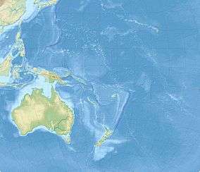 Mont Puke Location on a map of Oceania | |
| Highest point | |
| Elevation | 524 m (1,719 ft) |
| Prominence | 524 m (1,719 ft) |
| Coordinates | 14°16′15″S 178°8′20″W / 14.27083°S 178.13889°WCoordinates: 14°16′15″S 178°8′20″W / 14.27083°S 178.13889°W |
| Geography | |
| Location | Futuna |
Mont Puke is the highest point of the French Polynesian island territory of Wallis and Futuna, at an elevation of 524 metres (1,719 ft).
Sources
- (English) Mont Puke, Wallis and Futuna, Peakbagger.com.
This article is issued from Wikipedia - version of the 12/6/2015. The text is available under the Creative Commons Attribution/Share Alike but additional terms may apply for the media files.