Monte Chiadenis
| Monte Chiadenis | |
|---|---|
 Monte Chiadenis seen from north. | |
| Highest point | |
| Elevation | 2,459 m (8,068 ft) |
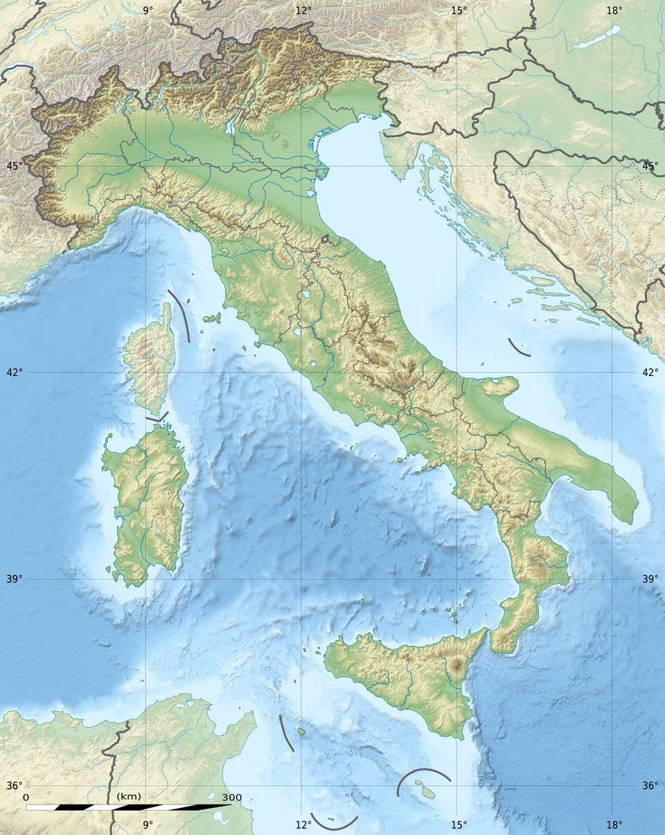
| Coordinates | 46°37′37″N 12°43′41″E / 46.62694°N 12.72806°ECoordinates: 46°37′37″N 12°43′41″E / 46.62694°N 12.72806°E |
| Geography | |
 Monte Chiadenis | |
| Parent range | Carnic Alps |
Monte Chiadenis (Friulian: Cjadenis) is a peak in the Carnic Alps, northern Italy, located between the comuni of Sappada and Forni Avoltri. It has an altitude of 2,459 m (8,068 ft).
During World War I (1915–1917) it was the seat of fierce fightings between Italian alpini and Austrian Kaiserjäger.
In Friulian language cjadenis means "chains".
See also
This article is issued from Wikipedia - version of the 12/6/2015. The text is available under the Creative Commons Attribution/Share Alike but additional terms may apply for the media files.