Moosberg
| Moosberg | |
|---|---|
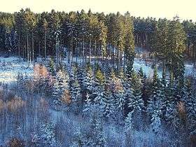 The wooded summit of the Moosberg | |
| Highest point | |
| Elevation | 513 m above sea level (NN) (1,683.1 ft) |
| Coordinates | 51°45′13″N 9°33′09″E / 51.75361°N 9.5525°ECoordinates: 51°45′13″N 9°33′09″E / 51.75361°N 9.5525°E |
| Geography | |
 Moosberg | |
| Parent range | Solling, Weser Uplands |
The Moosberg is a 513.0 m high hill in the Solling range, which is located in southwestern Lower Saxony (Germany).
Geography
The hill lies in the "Hochsolling", the central and highest part of the Solling, which is surrounded by the Solling-Vogler Nature Park. This heavily wooded hill is a little south of the half way point between Boffzen and Dassel, as the crow flies, and around 1.5 km east of Neuhaus.
From topographical maps it is clear, for example from trigonometric points that there are three different summit on the Moosberg at 513.0 m (north), 508.7 m (centre) and 508.6 m (south).
On the western slope of the Moosberg is the Hochsolling Observation Tower.
Sights
- Hochsolling Observation Tower
- Mecklenbruch (raised bog and nature reserve)
- Neuhaus Deer Park (and forest museum)
This article is issued from Wikipedia - version of the 12/6/2015. The text is available under the Creative Commons Attribution/Share Alike but additional terms may apply for the media files.