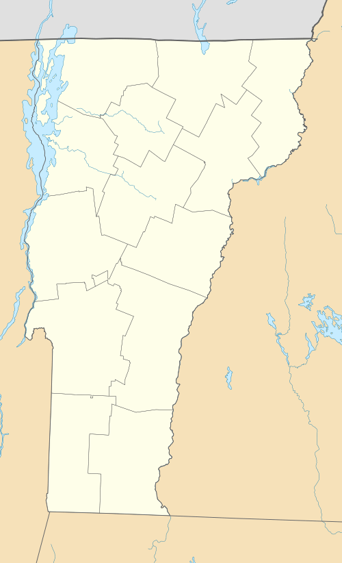
Mount Abraham (Vermont)
| Mount Abraham | |
|---|---|
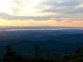 View of southern Lake Champlain from the summit | |
| Highest point | |
| Elevation | 4,017 ft (1,224 m) NAVD 88[1] |
| Prominence | 286 ft (87 m) [2] |
| Listing | New England 4,000 footers |
| Coordinates | 44°07′13″N 72°56′10″W / 44.120415214°N 72.936189444°WCoordinates: 44°07′13″N 72°56′10″W / 44.120415214°N 72.936189444°W [1] |
| Geography | |
 Mount Abraham | |
| Parent range | Presidential Range, Green Mountains |
| Topo map | USGS Lincoln |

Mount Abraham (Mount Abe to locals) is the fifth tallest peak in the U.S. state of Vermont. The summit supports a small amount of alpine vegetation and offers a view of the Champlain Valley and Adirondack Mountains to the west. Mount Abraham is on the Long Trail, a 272-mile (438 km) hiking trail running the length of Vermont. The mountain summit can be reached from the south (Lincoln Gap) or from the north (Lincoln Peak, Mount Ellen, Monroe Skyline). There is no camping permitted at the summit, but Battell Shelter is located roughly one mile from the summit south on the Long Trail.
Mount Abraham is the highest point in Addison County. The mountain — named after Abraham Lincoln, the 16th President of the United States — is part of the Green Mountains' Presidential Range. In 1881 the mountain was known as Potato Hill and this name is stamped on the benchmark at the summit which was reset in 1978.[1]
On June 28, 1973, a pilot flying from Twin Mountain, Vermont to Newburgh, New York was navigating through thick clouds and hit some trees (approx. 3,000 feet elevation) on Mount Abraham. He survived the plane crash. However, parts of the plane (a Cessna 182N, Registration Number N92431) are still on the mountain today.[3]
Mount Abraham stands within the watershed of Lake Champlain, which drains into the Richelieu River in Québec, then eventually into the Saint Lawrence River, and into the Gulf of Saint Lawrence. The southeast face of Mt. Abraham drains into Lincoln Brook, then into the Mad River, the Winooski River, and into Lake Champlain. The southwest face of Abraham drains into the New Haven River, Otter Creek, and into Lake Champlain. The northwest face of Abraham drains into Beaver Meadow Brook, then into the New Haven River.
See also
References
- 1 2 3 "Potato Hill Reset". NGS data sheet. U.S. National Geodetic Survey. Retrieved 2008-12-15.
- ↑ "Mount Abraham, Vermont". Peakbagger.com. Retrieved 2008-12-11.
- ↑ "Hike mount abraham vermont 4000 footers VT Mt Abraham Green mountains". 4000footers.com. Retrieved 2016-09-20.
External links
- "Mount Abraham". SummitPost.org. Retrieved 2008-12-15.
- "Mount Abraham". Geographic Names Information System. United States Geological Survey. Retrieved 2008-12-15.