Mount Fay
| Mount Fay | |
|---|---|
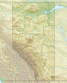
 Mount Fay Location on Alberta and British Columbia border | |
| Highest point | |
| Elevation | 3,235 m (10,614 ft) [1] |
| Prominence | 389 m (1,276 ft) [2] |
| Coordinates | 51°17′58″N 116°09′43″W / 51.29944°N 116.16194°WCoordinates: 51°17′58″N 116°09′43″W / 51.29944°N 116.16194°W [3] |
| Geography | |
| Location | Alberta / British Columbia |
| Parent range | Bow Range |
| Topo map | NTS 82N/08 |
| Climbing | |
| First ascent | 1904 Gertrude Benham, Christian Kaufmann[1] |
| Easiest route | South-West Face |
Mount Fay is a mountain located on the border of Alberta and British Columbia on the Continental Divide in the Canadian Rockies. The mountain forms part of the backdrop to Moraine Lake in the Valley of the Ten Peaks of Banff National Park. It was named in 1902 by Charles E. Fay, an early explorer of the Canadian Rockies. He was a member of the party who attempted Mount Lefroy in 1896 when the first mountaineer to be killed in the Canadian Rockies occurred.[1]
Notable ascents
- 1984 East Face (V/VI 5.8 WI5) of Mount Fay, Canadian Rockies, FA by Barry Blanchard, David Cheesmond and Carl Tobin.[4]
See also
- List of peaks on the British Columbia-Alberta border
- Mountains of Alberta
- Mountains of British Columbia
References
- 1 2 3 "Mount Fay". PeakFinder.com. Retrieved 2010-02-12.
- ↑ "Mount Fay". Bivouac.com. Retrieved 2010-02-12.
- ↑ "Mount Fay". Geographical Names Data Base. Natural Resources Canada. Retrieved 2013-05-18.
- ↑ Blanchard, Barry (Summer 2011). "Sanctum". Alpinist. Jeffersonville, VT, USA: Height of Land Publications. 2011 (35): 68–73. ISSN 1540-725X.
This article is issued from Wikipedia - version of the 6/4/2016. The text is available under the Creative Commons Attribution/Share Alike but additional terms may apply for the media files.