Mount Gamkonora
| Mount Gamkonora | |
|---|---|
 Mount Gamkonora in 1984 | |
| Highest point | |
| Elevation | 1,560 m (5,120 ft) [1][2] |
| Prominence | 1,560 m (5,120 ft) [1][3] |
| Listing |
Ultra Ribu |
| Coordinates | 1°22′42″N 127°32′03″E / 1.37833°N 127.53417°ECoordinates: 1°22′42″N 127°32′03″E / 1.37833°N 127.53417°E [1][2] |
| Geography | |
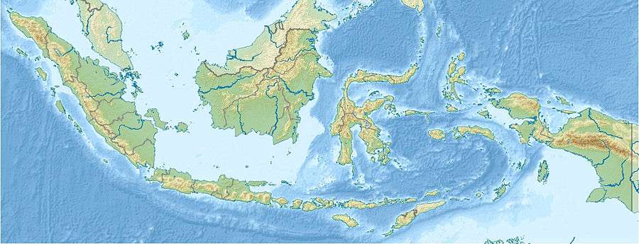 Mount Gamkonora Halmahera, Indonesia | |
| Geology | |
| Mountain type | Stratovolcano |
| Last eruption | July 2007[2] |
Mount Gamkonora is a stratovolcano on Halmahera island, Indonesia. With an elevation of 1,560 metres (5,118 ft), it is the highest peak on the island. It has produced an elongated series of craters along the north-south rift. The largest eruption in 1673 was accompanied by a tsunami which inundated the nearby villages.[2] Between 1564 and 1989 the volcano erupted twelve times.[4]
The volcano erupted again on July 10, 2007, with over 8,000 people reported to have fled their homes in the vicinity.[5]
See also
References
- 1 2 3 "Mountains of the Indonesian Archipelago". peaklist.org. Retrieved 2012-01-22.
- 1 2 3 4 "Gamkonora". Global Volcanism Program. Smithsonian Institution. Retrieved 2006-12-31.
- ↑ "Gamkonora, Indonesia". Peakbagger.com. Retrieved 2012-01-22.
- ↑ McClelland, Lindsay, ed. (1989). Global Volcanism 1975-1985. Prentice Hall. p. 231. ISBN 0-13-357203-X.
- ↑ "Thousands flee Indonesia volcano". BBC News. 10 July 2007. Retrieved 2007-07-10.
This article is issued from Wikipedia - version of the 2/16/2016. The text is available under the Creative Commons Attribution/Share Alike but additional terms may apply for the media files.