Mount Parashka
| Parashka | |
|---|---|
| Парашка | |
 | |
| Highest point | |
| Elevation | 1,268.5 m (4,162 ft) |
| Listing | Country high point |
| Coordinates | 49°04′10″N 23°24′51″E / 49.06944°N 23.41417°ECoordinates: 49°04′10″N 23°24′51″E / 49.06944°N 23.41417°E |
| Geography | |
 Parashka Ukraine | |
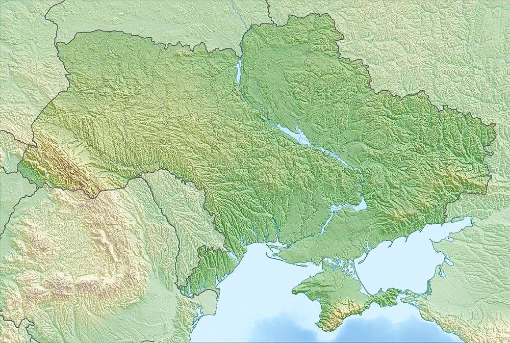
| Location | Lviv Oblast, Ukraine |
| Parent range | Skole Beskids |
Parashka (Ukrainian: Пара́шка, Параска) – mountain in the Ukrainian Carpathians, the highest peak of the Parashka Range in the Skole Beskids. Highest peak reaches 1,268.5 metres (4,162 ft) above sea level. It is located at a distance 8 kilometres (5.0 mi) north-west from the district center Skole and 118 kilometres (73 mi) from the regional center of Lviv.
The Opir[1] and Stryi Rivers flow near the Mount as well. Gurkalo[2] is a known waterfall on the River Velyka Richka. Pine and beech forests cover its slopes. It is a popular site for tourists.
References
- ↑ Опір (річка)(Ukrainian)
- ↑ Гуркало(Ukrainian)
External links
This article is issued from Wikipedia - version of the 7/26/2016. The text is available under the Creative Commons Attribution/Share Alike but additional terms may apply for the media files.