Mount Victoria National Park
| Mount Victoria National Park | |
|---|---|
|
IUCN category II (national park) | |
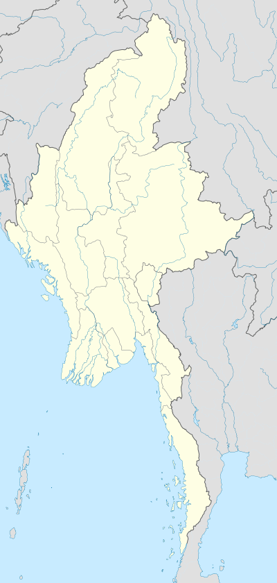 Location within Burma | |
| Location |
Chin State, |
| Coordinates | 21°14′N 93°54′E / 21.233°N 93.900°ECoordinates: 21°14′N 93°54′E / 21.233°N 93.900°E |
| Area | 279 square miles (720 km2) |
| Established | 1994 |
Mount Victoria National Park (Burmese: (နတ်မတောင်အမျိုးသားဥယျာဉ်) or Nat Ma Taung is a national park of Burma. It is located close to the border with India and features Mt. Victoria, which at 3,035 meters above sea level is the highest mountain in Chin Hill, Chin State, in the western part of Central Myanmar.[1] It occupies an area of 279 square miles (720 km2) and was established in 1994. It surrounds Nat Ma Taung, formerly Mount Victoria. It is one of ASEAN Heritage Parks.
References
External links
This article is issued from Wikipedia - version of the 11/19/2016. The text is available under the Creative Commons Attribution/Share Alike but additional terms may apply for the media files.