Muggleswick
| Muggleswick | |
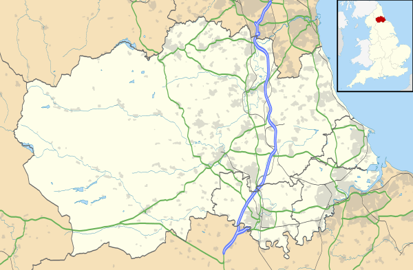 Muggleswick |
|
| Population | 130 (2001)[1] |
|---|---|
| OS grid reference | NZ041499 |
| Civil parish | Muggleswick |
| Unitary authority | County Durham |
| Ceremonial county | County Durham |
| Region | North East |
| Country | England |
| Sovereign state | United Kingdom |
| Post town | CONSETT |
| Postcode district | DH8 |
| Dialling code | 01207 |
| Police | Durham |
| Fire | County Durham and Darlington |
| Ambulance | North East |
| EU Parliament | North East England |
| UK Parliament | North West Durham |
|
|
Coordinates: 54°50′38″N 1°56′13″W / 54.844°N 1.937°W
Muggleswick is a village and civil parish in County Durham, England. It is situated a few miles to the west of Consett. the population was 130 at the 2001 Census reducing to 113 at the 2011 Census.[2]
The village has a number of farms and domestic dwellings as well as the Church of England church, generally accepted as dedicated to All Saints, and village hall (previously the school). Amenities other than that consist of the phone box with its adjacent litter bin. Agriculture is primarily sheep farming with some cattle and hay.
There are the ruins of a priory, once a hunting lodge for the Prior of Durham, which is a listed building.[3] These are located near to the church.
In the United Kingdom Census 2001 the population of the village was 130 with 66 male and 64 female[1]
A significant area of the south and west of the village is taken up by Muggleswick Common, an area of upland moorland used for grouse rearing (and associated game (food) shooting) and sheep grazing. This area consists predominately of heather with encroaching bracken. The Common is part of the Muggleswick, Stanhope and Edmundbyers Commons and Blanchland Moor Site of Special Scientific Interest (SSSI), designated as such by Natural England for its habitat diversity and the presence of a range of plant and bird species of national and international importance.[4]
To the east, the village is bordered by the Derwent Gorge and Horsleyhope Ravine SSSI.[5] This area has been classified as such due to the range of plant species and areas that have remained free from human interference.
References
- 1 2 "Durham County Council data". Durham County Council. Archived from the original on January 8, 2009. Retrieved 30 August 2008.
- ↑ "Civil Parish population 2011". Retrieved 1 February 2016.
- ↑ Keys To The Past Retrieved 2008-08-30
- ↑ Natural England Retrieved 2008-08-30
- ↑ Natural England Retrieved 2008-08-30
External links
![]() Media related to Muggleswick at Wikimedia Commons
Media related to Muggleswick at Wikimedia Commons