Munabao
| Munabao | |
|---|---|
| village | |
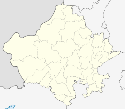 Munabao  Munabao Location in Rajasthan, India | |
| Coordinates: 25°45′00″N 70°17′00″E / 25.75°N 70.2833°ECoordinates: 25°45′00″N 70°17′00″E / 25.75°N 70.2833°E | |
| Country |
|
| State | Rajasthan |
| District | Barmer |
| Talukas | Gadra Road |
| Elevation | 71 m (233 ft) |
| Population (2001) | |
| • Total | 411 |
| Languages | |
| • Official | Marwari, Hindi |
| Time zone | IST (UTC+5:30) |
| Lok Sabha constituency | Barmer (Lok Sabha Constituency) |
| Vidhan Sabha constituency | Sheo |
Munabao is a village in the Barmer district in Rajasthan in India bordering Pakistan.
Transport
In February 2006, the two nations reopened the railway line, the Thar Express that used to connect Rajasthan in India with Sindh in Pakistan. The line had fallen into disuse ever since it was closed after the 1965 Indo-Pakistan war in which the town itself was captured by Pakistani troops. It is the second active rail connection between the two nations after the Wagah link in Punjab. Khokhrapar is the bordering town in Pakistan.
Since 2006 a train service has been running once a week between Bhagat Ki Kothi near Jodhpur and Karachi, Pakistan which passes through Munabao on India side, Zero Point border station, Khokhrapar on Pakistan side. This train is known as the Thar Express.[1] Apart from this there is a passenger train between Barmer and Munabao.
Munabao railway station is on the Marwar Junction-Munabao line.