Nag's Head, London
Coordinates: 51°33′25″N 0°07′01″W / 51.557°N 0.117°W
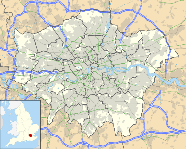
Nag's Head is a locality within the Holloway area of the London Borough of Islington.
History
Toponymy
The area is named after the Nag's Head public house. The pub, also previously called the Mustang Diner and O'Neills, closed in 2004; the original early Victorian building is in use today as a gambling establishment.
Governance
There is a Nag's Head Town Centre Management Group.[1]
Geography
The name refers to the junction of Holloway Road (the A1) with Seven Sisters Road, where the Nag's Head pub stood, and also to the surrounding area, particularly the stretch of Holloway Road between the former pub and its junction with Camden Road.
Economy
The area is identified in the London Plan as one of 35 major centres in Greater London.[2] The shopping and entertainment area includes the Nag's Head Market (behind Holloway Road on the northwest corner of Hertslet Road) and the Nag's Head Shopping Centre.[3] It is the location of James Selby department store.
References
| Districts |  | |
|---|---|---|
| Attractions |
| |
| Street markets | ||
| Parks and open spaces |
| |
| Constituencies | ||
| Tube and rail stations | ||
| Other topics | ||