Narsampet
| Narsampet నర్సంపేట్ | |
|---|---|
| Town | |
|
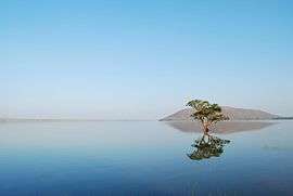
Pakhal Lake in Khanapur Mandal | |
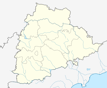 Narsampet  Narsampet Location in Telangana, India | |
| Coordinates: 17°55′35″N 79°53′49″E / 17.926394°N 79.896941°ECoordinates: 17°55′35″N 79°53′49″E / 17.926394°N 79.896941°E | |
| Country |
|
| State | Telangana |
| District | Warangal (rural) district |
| Talukas | Narsampet |
| Area[1] | |
| • Total | 11.52 km2 (4.45 sq mi) |
| Elevation | 221 m (725 ft) |
| Languages | |
| • Official | Telugu |
| Time zone | IST (UTC+5:30) |
| PIN | 506132 |
| Vehicle registration | TS 03 |
| Website |
telangana |
Narsampet is a town in Warangal (rural) district of the Indian state of Telangana.[2]
Geography
Narsampet is located at 17° 55'0N 79° 54' 0E.It has average altitude of 221 meters. Narsampet is a historical place. historical place of pakal lake near by 8 km. Its constricted by KAKATHIYULU .
Government and politics
Civic administration
Narsampet Nagar Panchayat was constituted in 2011 and has 20 election wards. The jurisdiction of the civic body is spread over an area of 11.52 km2 (4.45 sq mi).[1]
References
- 1 2 "Urban Local Body Information" (PDF). Directorate of Town and Country Planning. Government of Telangana. Retrieved 28 June 2016.
- ↑ "Warangal (urban) district" (PDF). New Districts Formation Portal. Retrieved 11 October 2016.
This article is issued from Wikipedia - version of the 11/25/2016. The text is available under the Creative Commons Attribution/Share Alike but additional terms may apply for the media files.