Nasty, Hertfordshire
| Nasty | |
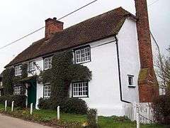 Steen Cottage in Nasty |
|
 Nasty |
|
| OS grid reference | TL360246 |
|---|---|
| Civil parish | Great Munden |
| District | East Hertfordshire |
| Shire county | Hertfordshire |
| Region | East |
| Country | England |
| Sovereign state | United Kingdom |
| Post town | WARE |
| Postcode district | SG11 |
| Dialling code | 01920 |
| EU Parliament | East of England |
|
|
Coordinates: 51°54′11″N 0°01′30″W / 51.903°N 0.025°W
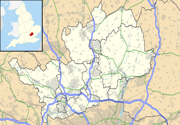
Nasty is a hamlet in the East Hertfordshire district of Hertfordshire, England. It is in Great Munden civil parish, around 6 miles (10 km) north of Ware and around 7.5 miles (12 km) east of Stevenage. At the 2011 Census the population was included in the civil parish of Albury.
Its name comes from the Anglo-Saxon æt þǽm éastan hæge, meaning "at the eastern hedged enclosure" or similar.
External links
| Wikimedia Commons has media related to Nasty. |
- Great Munden (A Guide to Old Hertfordshire)
- Google Earth view with the name on a road sign
This article is issued from Wikipedia - version of the 10/31/2016. The text is available under the Creative Commons Attribution/Share Alike but additional terms may apply for the media files.