Nevado Anallajsi
| Nevado Anallajsi | |
|---|---|
 The upper right part of the NASA Space Shuttle image shows the eroded volcanic complex Nevado Anallajsi. | |
| Highest point | |
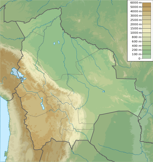
| Elevation | 5,750 m (18,860 ft) |
| Coordinates | 17°55′S 68°55′W / 17.917°S 68.917°WCoordinates: 17°55′S 68°55′W / 17.917°S 68.917°W |
| Geography | |
 Nevado Anallajsi | |
| Parent range | Andes |
| Geology | |
| Mountain type | Stratovolcano |
| Last eruption | Unknown |
Nevado Anallajsi is a stratovolcano in Bolivia. The date of its last eruption is unknown, but its youngest lava flows appear to have erupted from a vent on the north flank of the mountain. The main composition of the volcano is andesitic and dacitic. It overlies a plateau which is composed of ignimbrite. The volcano covers an area of 368.8 square kilometres (142.4 sq mi) and is 10.2 mya old based on its erosion state,[1] while other estimates indicate an age of 2.6 mya.[2]
See also
References
- ↑ Karátson, D.; Telbisz, T.; Wörner, G. (February 2012). "Erosion rates and erosion patterns of Neogene to Quaternary stratovolcanoes in the Western Cordillera of the Central Andes: An SRTM DEM based analysis". Geomorphology. 139-140: 122–135. doi:10.1016/j.geomorph.2011.10.010.
- ↑ Jiménez, Néstor; López-Velásquez, Shirley; Santiváñez, Reynaldo (October 2009). "Evolución tectonomagmática de los Andes bolivianos". Revista de la Asociación Geológica Argentina (in Spanish). Buenos Aires: SciELO. 65 (1). ISSN 1851-8249. Retrieved 21 September 2015.
Sources
- Siebert L, Simkin T (2002-). Volcanoes of the World: an Illustrated Catalog of Holocene Volcanoes and their Eruptions. Smithsonian Institution, Global Volcanism Program Digital Information Series, GVP-3, (http://www.volcano.si.edu).
This article is issued from Wikipedia - version of the 9/23/2015. The text is available under the Creative Commons Attribution/Share Alike but additional terms may apply for the media files.