New Kru Town
| New Kru Town | |
|---|---|
| Town and suburb | |
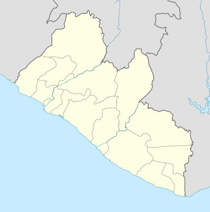 New Kru Town Location in Liberia | |
| Coordinates: LR 6°22′24″N 10°47′34″W / 6.37333°N 10.79278°WCoordinates: LR 6°22′24″N 10°47′34″W / 6.37333°N 10.79278°W | |
| Country |
|
| County | Montserrado County |
| District | Greater Monrovia |
| Time zone | GMT (UTC+0) |
New Kru Town is a town and northwestern coastal suburb of Monrovia, Liberia located on the north end of Bushrod Island.
The town grew as a planned "transplant" town of Old Kru Town after World War II when "Old Kru Town was evacuated for the development of a new breakwater for the new port with assistance from the Liberian government".[1][2] Being located on the corner of the Atlantic Ocean and the Saint Paul River estuary, fishing is an important source of income.[3] A slum area, it has been subject to ethnic tension.[4]
Notable landmarks
An "imposing" church was built in New Kru Town in about 1975 by American missionaries.[5] It also contains the Redemption Hospital and the multi-million dollar D. Tweh Memorial High School, "originally named in honor of Tolbert before the 1980 coup".[6][7] An avenue, Botoe Avenue, is named after Thomas Nimene Botoe.
Ebola
The town was impacted by the 2014 West Africa Ebola outbreak. On 26 June 2014, "Liberia's Chief Medical Officer, Dr. Bernice Dahn ... disclosed that three persons suspected of the Ebola virus in the Borough of New Kru Town died in a church where they had gone for prayer." She "warned churches in the country that are keeping people infected with the Ebola virus to desist immediately."[8]
References
- ↑ Sawyer, Amos (1992). The emergence of autocracy in Liberia: tragedy and challenge. Institute for Contemporary Studies. ISBN 978-1-55815-164-2. Retrieved 28 April 2012.
- ↑ Obudho, Robert A.; Mhlanga, Constance C. (1988). Slum and squatter settlements in Sub-Saharan Africa: toward a planning strategy. Praeger. ISBN 978-0-275-92309-9. Retrieved 28 April 2012.
- ↑ United States. Foreign Broadcast Information Service (1982). Sub-Saharan Africa report. Foreign Broadcast Information Service. pp. 59–60. Retrieved 28 April 2012.
- ↑ Dolo, Emmanuel (31 October 2007). Ethnic Tensions in Liberia's National Identity Crisis: Problems and Possibilities. Africana Homestead Legacy Pb. p. 64. ISBN 978-0-9770904-1-9. Retrieved 28 April 2012.
- ↑ Gifford, Paul (16 May 2002). Christianity and Politics in Doe's Liberia. Cambridge University Press. p. 206. ISBN 978-0-521-52010-2. Retrieved 28 April 2012.
- ↑ Maps (Map). Google Maps.
- ↑ Sherman, Frank (31 January 2010). Liberia: The Land, Its People, History and Culture. Godfrey Mwakikagile. p. 52. ISBN 978-9987-16-025-9. Retrieved 28 April 2012.
- ↑ Weedee-Conway, Emmanuel (2014-06-27). "Liberia: Churches Are Not Hospital for Curing Ebola - Chief Medical Officer Warns". Heritage via allAfrica.com. Retrieved 2014-06-30.