Newark–Heath Airport
Coordinates: 40°01′29″N 082°27′43″W / 40.02472°N 82.46194°W
| Newark–Heath Airport | |||||||||||
|---|---|---|---|---|---|---|---|---|---|---|---|
| IATA: none – ICAO: KVTA – FAA LID: VTA | |||||||||||
| Summary | |||||||||||
| Airport type | Public | ||||||||||
| Owner | Licking County Regional Airport Authority | ||||||||||
| Serves | Newark, Ohio | ||||||||||
| Location | Heath, Ohio | ||||||||||
| Elevation AMSL | 884 ft / 269 m | ||||||||||
| Website | http://www.newarkheathairport.com/ | ||||||||||
| Map | |||||||||||
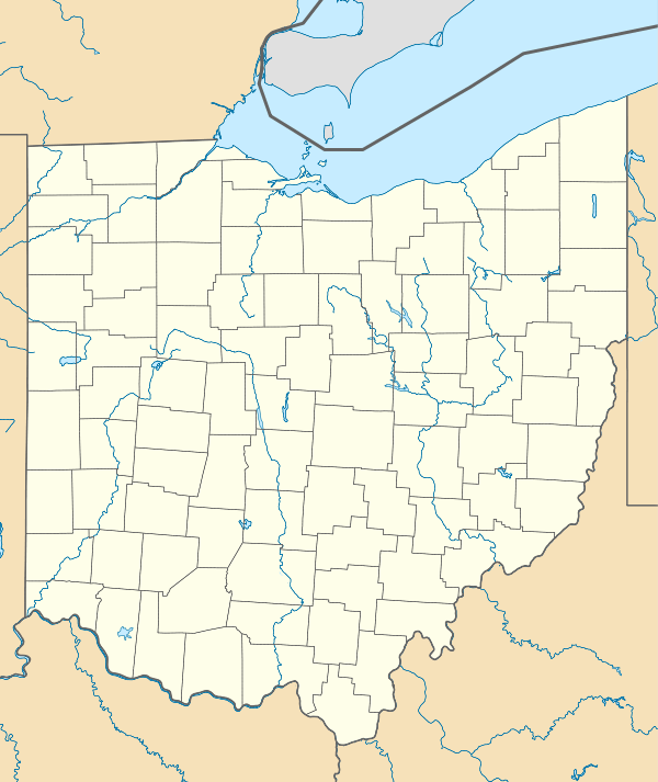 VTA  VTA Location of airport in Ohio/United States | |||||||||||
| Runways | |||||||||||
| |||||||||||
| Statistics (2007) | |||||||||||
| |||||||||||
Newark–Heath Airport (ICAO: KVTA, FAA LID: VTA) is a public airport located in Heath, Ohio. It is three miles (5 km) southwest of the central business district of Newark, a city in Licking County, Ohio, United States. It is owned by the Licking County Regional Airport Authority.[1]
Although most U.S. airports use the same three-letter location identifier for the FAA and IATA, Newark–Heath Airport is assigned VTA by the FAA but has no designation from the IATA.[2]
Facilities and aircraft
Newark–Heath Airport covers an area of 140 acres (57 ha) which contains one asphalt paved runway (9/27) measuring 4,649 x 75 ft (1,417 x 23 m) For the 12-month period ending March 20, 2007, the airport had 12,457 aircraft operations, an average of 34 per day: 99% general aviation, <1% military and <1% air taxi.[1]
References
- 1 2 3 FAA Airport Master Record for VTA (Form 5010 PDF), effective 2007-10-25
- ↑ Great Circle Mapper: KVTA – Newark, Ohio (Newark–Heath Airport)
External links
- Resources for this airport:
- FAA airport information for VTA
- AirNav airport information for KVTA
- FlightAware airport information and live flight tracker
- NOAA/NWS latest weather observations
- SkyVector aeronautical chart, Terminal Procedures