Nischintapur, South 24 Paraganas
| Nischintapur নিশ্চিন্তপুর | |
|---|---|
| Village | |
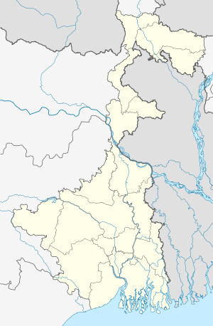 Nischintapur  Nischintapur Location in West Bengal, India | |
| Coordinates: 21°59′31″N 88°12′58″E / 21.99194°N 88.21611°ECoordinates: 21°59′31″N 88°12′58″E / 21.99194°N 88.21611°E | |
| Country |
|
| State | West Bengal |
| District | South 24 Parganas |
| Population | |
| • Total | 2,500 plus |
| Languages | |
| • Official | Bengali, English |
| Time zone | IST (UTC+5:30) |
| PIN | 743374 |
| Telephone code | 03210 |
| Nearest city |
Kakdwip Diamond Harbour |
| Literacy | more than 80%% |
| Lok Sabha constituency | Mathurapur |
| Vidhan Sabha constituency | Kulpi |
Nischintapur is a small village in the district of South 24 Parganas, West Bengal, India. It is 80 kilometres (50 mi) away from Kolkata.
The village has a high school, bank, post-office, market, fish auction center and a small railway station. Nischintapur Rakhal Das High School celebrated its centenary year [1] in 2009. Literacy of the area is more than 80% but agriculture is still the main livelihood of local people. Nischintapur is a hub for the surrounding villages of Kashipur, Jamtala, Ashthwatala, and Gazirmahal.
The village is located on the east bank of the Ganges and is well connected by railway (the Eastern Railway, Sealdah-Namkhana Branch, offers a 2-hour 30 minute journey by train to Sealdah Station in Kolkata). By road on NH117, Bakkhali and Gangasagar are 2 hours 25 minutes journey by bus from the esplanade. Haldia is on the opposite bank of the river. The island of Nayachar is located between the two towns.
Kolkata Port Trust has its own campus with an old lighthouse (now almost ruined) and a ferri ghat (Poila Number 1 i.e. jetty no. 1) are here. Planned development may promote the place to a good picnic and tourist spot.