Noak Hill
Coordinates: 51°37′08″N 0°13′58″E / 51.6190°N 0.2327°E
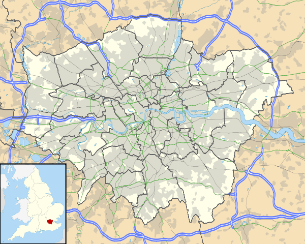
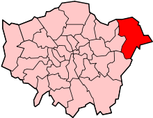
Noak Hill is a village in the London Borough of Havering. It is situated on hilly terrain in the far northeast of the borough, close to the Greater London boundary, which is locally the M25 motorway. The village consists of various period homes, many of which are listed buildings, a 19th-century church and scattered farms. It forms part of the Romford post town. It is located immediately north of the post-war estate of Harold Hill and east of Havering-atte-Bower. Noak Hill was a ward in the ancient parish of Hornchurch. By the 16th century it had come under the control of the Romford vestry and was included in the newly created Romford civil parish in 1849. From 1895 Noak Hill became a separate civil parish and had its own parish council until 1934.[1]
The name "Noak" is a corruption of the Middle English atten oak meaning "at the oak [tree]".[2]
References
- ↑ http://www.friendsofdagnampark.org.uk/lingham-intro.htm
- ↑ Reaney, P.H. (1960). The Origin of English Place-Names. Routledge and Kegan Paul. p. 37.
| Districts |
|  |
|---|---|---|
| Attractions | ||
| Major retail | ||
| Places of worship | ||
| Parks and open spaces | ||
| Constituencies | ||
| Tube and rail stations | ||
| Other topics | ||