Osmussaar earthquake
 | |
| Date | 25 October 1976 |
|---|---|
| Origin time | 08:39 UTC (11:39 MSK local time)[1] |
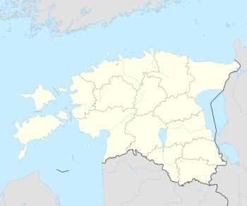
| Epicenter | 59°18′N 23°30′E / 59.3°N 23.5°ECoordinates: 59°18′N 23°30′E / 59.3°N 23.5°E |
The Osmussaar earthquake occurred on 25 October 1976 near the north tip of Osmussaar, an island close to the coast of Estonia. Its hypocenter was 10–13 kilometres (6–8 mi) below ground level, and it was measured at 4.7[2] on the Richter magnitude scale. The earthquake was the most powerful recorded in Estonia;[3] it caused rockfall along the north and northeastern coasts,[2] and some houses took structural damage. The earthquake was largely felt in surrounding areas like north Estonia, south Finland and Sweden. Aftershocks also took place in November.
References
- ↑ Nikonov, A. A.; Sildvee, H. "Historical Earthquakes in Estonia and Their Seismotectonic Position" (PDF). Geophysica. 27 (1–2): 79–93.
- 1 2 Estonian Academy of Science (December 2005). Proceedings of the Estonian Academy of Sciences, Geology. Estonian Academy Publishers.
- ↑ Christian Koeberl; Francisca C. Martínez-Ruiz (7 April 2003). Impact Markers in the Stratigraphic Record. Springer Science & Business Media. pp. 345–. ISBN 978-3-540-00630-5.
This article is issued from Wikipedia - version of the 10/31/2016. The text is available under the Creative Commons Attribution/Share Alike but additional terms may apply for the media files.