Oswego Municipal Airport
| Oswego Municipal Airport | |||||||||||
|---|---|---|---|---|---|---|---|---|---|---|---|
| IATA: none – ICAO: K67 – FAA LID: K67 | |||||||||||
| Summary | |||||||||||
| Airport type | Public | ||||||||||
| Owner | City of Oswego | ||||||||||
| Serves | Oswego, Kansas | ||||||||||
| Elevation AMSL | 830 ft / 253.0 m | ||||||||||
| Coordinates | 37°16′57″N 95°04′27″W / 37.28250°N 95.07417°WCoordinates: 37°16′57″N 95°04′27″W / 37.28250°N 95.07417°W | ||||||||||
| Website | http://oswegokansas.com/index.php?option=com_content&view=article&id=8&Itemid=7 | ||||||||||
| Map | |||||||||||
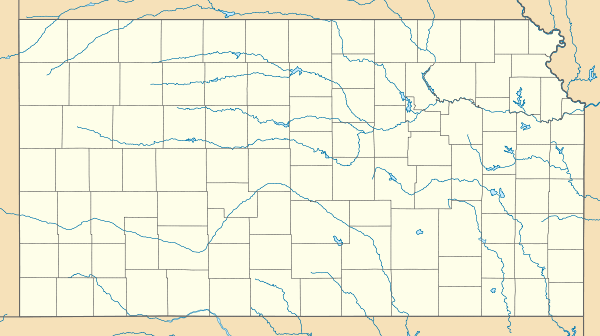 K67 Location within Kansas | |||||||||||
| Runways | |||||||||||
| |||||||||||
| Statistics | |||||||||||
| |||||||||||
Oswego Municipal Airport (IATA: K67, ICAO: K67) is a city-owned public-use airport located in Cherokee County, Kansas, three miles (5 km) east of the central business district of Oswego, a city in Labette County, Kansas, United States.
Facilities and aircraft
Oswego Municipal Airport contains one runway: 17/35 with a 2,500 x 50 ft (762 x 15 m) asphalt pavement.
For the 12-month period ending December 31, 2010, the airport had 600 aircraft operations, an average of 50 per month: 70% local general aviation and 30% transient general aviation. At that time there were 3 aircraft based at this airport: 100% single-engine.[1]
Future Expansion
The City of Oswego is currently planning to construct a new runway with dimensions 3,200 ft x 60 ft. Fuel services and new hangars, as well as repairs to the current runway are currently being studied.[2]
A new access road is currently being constructed to the airport from U.S. Highway 160 and will be completed by Spring 2011.
The airport's proximity to the Joplin, Missouri area provides an optimal opportunity for increased expansion into the corporate aviation and general aviation areas.
References
External links
- Resources for this airport:
- FAA airport information for K67
- AirNav airport information for K67
- FlightAware airport information and live flight tracker
- SkyVector aeronautical chart for K67