Oulston
| Oulston | |
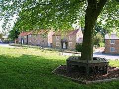 Village Green in Oulston, North Yorkshire |
|
 Oulston |
|
| Population | 149 (Including Thornton-on-the-Hill. 2011)[1] |
|---|---|
| OS grid reference | SE54726 |
| Civil parish | Oulston |
| District | Hambleton |
| Shire county | North Yorkshire |
| Region | Yorkshire and the Humber |
| Country | England |
| Sovereign state | United Kingdom |
| Post town | YORK |
| Postcode district | YO61 |
| Police | North Yorkshire |
| Fire | North Yorkshire |
| Ambulance | Yorkshire |
| EU Parliament | Yorkshire and the Humber |
| UK Parliament | Thirsk and Malton |
Coordinates: 54°09′47″N 1°06′59″W / 54.163°N 1.1163°W
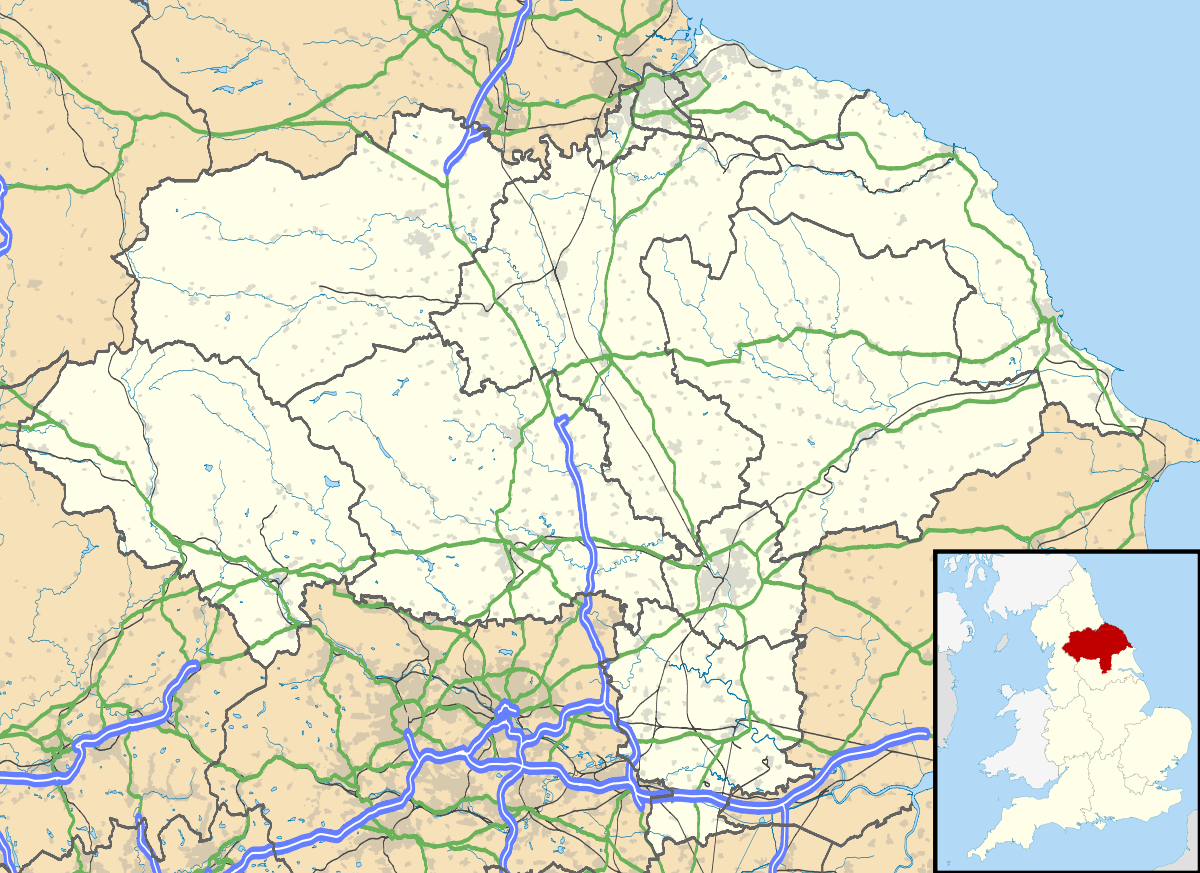
Oulston is a village and civil parish in Hambleton district of North Yorkshire, England. It lies about three miles north-east of Easingwold. Remains of a Roman villa have been found in the area. The village is within the Howardian Hills Area of Outstanding Natural Beauty
History
The village name may be derived from the Anglian personal name of Ulf combined with tun meaning habitation.[2]
There are the remains of a Roman villa nearby, consistent with the village's location near the junction of two old Roman roads. Articles from the site are located within the York Museum.[2][3]
The village is mentioned in the Domesday Book as Uluestan and at the time of the Norman invasion, the lands were owned by Gospatric, son Arnketil.[4] The lands were then given to the King before passing to the Fauconberg family and thence to the Wombwell family, who resided at nearby Newburgh Priory Estate.[3]
There used to be a Wesleyan chapel in the village, which is now the village hall. It is a Grade II listed building.[5]
There are four sites in the area that are scheduled ancient monuments.[6] They are:
- a round barrow 500m WNW of Pond Head Farm at grid reference SE56207470
- a round barrow 350m NW of Pond Head Farm at grid reference SE56377475
- a section of cross ridge dyke and earthworks in Roman Plantation, Oulston Moor at grid reference SE56387489
- a section of cross ridge dyke and hollow way 200m NW of Pond Head Farm at grid reference SE56447472
Governance
The village is part of the Thirsk and Malton UK Parliament constituency. It lies within the Stillington, North Yorkshire electoral division of North Yorkshire County Council. It also lies within the White Horse ward of Hambleton District Council.[7]
Geography
According to the 1881 UK census, the population was 177.[3] In the 2001 UK census the population was 102 of which 85 were over sixteen years old. Of those, 51 were in employment.[8]
Oulston lends its name to the reservoir on the River Foss to the east of the village.[7]
The nearest settlements to Oulston are Crayke 2.7 miles (4.3 km) to the south; Husthwaite 1.9 miles (3.1 km) to the west; Coxwold 1.6 miles (2.6 km) to the north and Yearsley 2.4 miles (3.9 km) to the east.[7]
References
- ↑ "Parish population 2011". Neighbourhood Statistics. Office for National Statistics. Retrieved 2 August 2015.
- 1 2 "Conservation". Retrieved 2 December 2012.
- 1 2 3 Bulmer's Topography, History and Directory (Private and Commercial) of North Yorkshire 1890. S&N Publishing. 1890. p. 678. ISBN 1-86150-299-0.
- ↑ Oulston in the Domesday Book. Retrieved 2 December 2012.
- ↑ "Listed Buiuldings". Retrieved 2 December 2012.
- ↑ "Heritage at Risk Register Yorkshire & Humber 2012" (PDF). Retrieved 2 December 2012.
- 1 2 3 Ordnance Survey Open Viewer
- ↑ "2001 Census". Neighbourhood Statistics. Office for National Statistics. Retrieved 2 December 2012.
External links
![]() Media related to Oulston at Wikimedia Commons
Media related to Oulston at Wikimedia Commons