Oum El Achar
| Oum El Achar | |
|---|---|
| Village | |
 Oum El Achar | |
| Coordinates: DZ 28°42′52″N 8°28′56″W / 28.71444°N 8.48222°WCoordinates: DZ 28°42′52″N 8°28′56″W / 28.71444°N 8.48222°W | |
| Country |
|
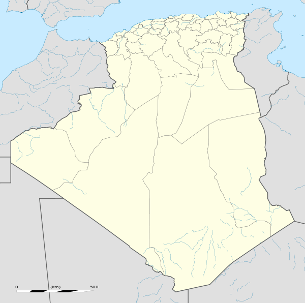
| Province | Tindouf Province |
| District | Tindouf District |
| Commune | Tindouf[1] |
| Elevation | 353 m (1,158 ft) |
| Time zone | CET (UTC+1) |
Oum El Achar is a village in the commune of Tindouf,[1] in Tindouf Province, Algeria, located at the base of a mountain pass.[2] It is connected to the N50 national highway by a long local road leading south from the village.
References
- 1 2 "Décret n° 84-365, fixant la composition, la consistance et les limites territoriale des communes. Wilaya d'El Oued" (PDF) (in French). Journal officiel de la République Algérienne,. 19 December 1984. p. 1562. Archived from the original (PDF) on 2 March 2013 or before. Retrieved 2 March 2013. Check date values in:
|archive-date=(help) - ↑ "Oumm el Achar, Algeria". Geonames.Org. Retrieved 14 May 2013.
Neighbouring towns and cities
 |
Fam El Hisn (Morocco) | Akka (Morocco) | Hassi Mounir | |
| Assa (Morocco) | |
Oum El Assel | ||
| ||||
| | ||||
| Zag (Morocco) | Tindouf | Âouinet Bel Egrâ |
| Tindouf District | ||||||||
|---|---|---|---|---|---|---|---|---|
This article is issued from Wikipedia - version of the 5/22/2013. The text is available under the Creative Commons Attribution/Share Alike but additional terms may apply for the media files.