P'iq'iñ Q'ara (Oruro)
This article is about the mountain in the Oruro Department, Bolivia. For other uses, see P'iqi Q'ara.
| P'iq'iñ Q'ara | |
|---|---|
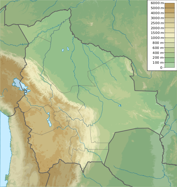 P'iq'iñ Q'ara Location in Bolivia | |
| Highest point | |
| Elevation | 4,763 m (15,627 ft) [1] |
| Coordinates | 18°58′12″S 68°53′25″W / 18.97000°S 68.89028°WCoordinates: 18°58′12″S 68°53′25″W / 18.97000°S 68.89028°W |
| Geography | |
| Location | Bolivia, Oruro Department, Sabaya Province |
| Parent range | Andes, Cordillera Occidental |
P'iq'iñ Q'ara (Aymara p'iq'iña head, q'ara bare, bald, p'iq'iña q'ara bald,[2] "baldheaded", hispanicized spelling Pekheñ Khara) is a 4,763-metre (15,627 ft) high mountain in the Cordillera Occidental in the Andes of Bolivia. It is located in the Oruro Department, Sabaya Province, Sabaya Municipality. P'iq'iñ Q'ara is situated south-west of the mountain Kimsa Chata, near the border with Chile. It lies at the confluence of the rivers Chullumpiri Jawira and Lliscaya Jawira.[3]
References
- ↑ BIGM map 1:50,000 Cerro Capitan Hoja 5837-III
- ↑ Radio San Gabriel, "Instituto Radiofonico de Promoción Aymara" (IRPA) 1993, Republicado por Instituto de las Lenguas y Literaturas Andinas-Amazónicas (ILLLA-A) 2011, Transcripción del Vocabulario de la Lengua Aymara, P. Ludovico Bertonio 1612 (Spanish-Aymara-Aymara-Spanish dictionary) see: Cabeza del hombre y de todos los animales and Calvo
- ↑ "Sabaya". Retrieved September 12, 2014.
Capital: Oruro | ||
| Provinces |  | |
| Municipalities (and seats) |
| |
This article is issued from Wikipedia - version of the 2/13/2016. The text is available under the Creative Commons Attribution/Share Alike but additional terms may apply for the media files.