Pain de sucre (Les Saintes)
| Pain de Sucre | |
|---|---|
 | |
| Highest point | |
| Elevation | 173.88 ft (53.00 m) |
| Coordinates | 15°51′52″N 61°35′57″W / 15.86444°N 61.59917°WCoordinates: 15°51′52″N 61°35′57″W / 15.86444°N 61.59917°W |
| Geography | |
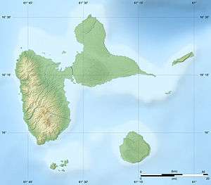 Pain de Sucre | |
| Geology | |
| Mountain type | Basalt |
| Volcanic arc/belt | Lesser Antilles Volcanic Arc |
Pain de Sucre (literally: sugar loaf) is a little mountain located on Terre-de-Haut Island on the archipelago of Îles des Saintes with the height of 53 metres (173.88 feet). It is a peninsula between two beaches called Petite Anse du Pain de sucre and Anse Devant.
Pain de Sucre is constituated by an alignment of basalt columns plunging into the blue waters of the bay of les Saintes.
The organ pipes of this mountain are a spectacular geologic curiosity and a famous tourist spot of the archipelago.
See also
References
This article is issued from Wikipedia - version of the 9/1/2013. The text is available under the Creative Commons Attribution/Share Alike but additional terms may apply for the media files.