Patrick Brompton
| Patrick Brompton | |
 Patrick Brompton |
|
| Population | 167 (Including Langthorne. 2011)[1] |
|---|---|
| OS grid reference | SE220907 |
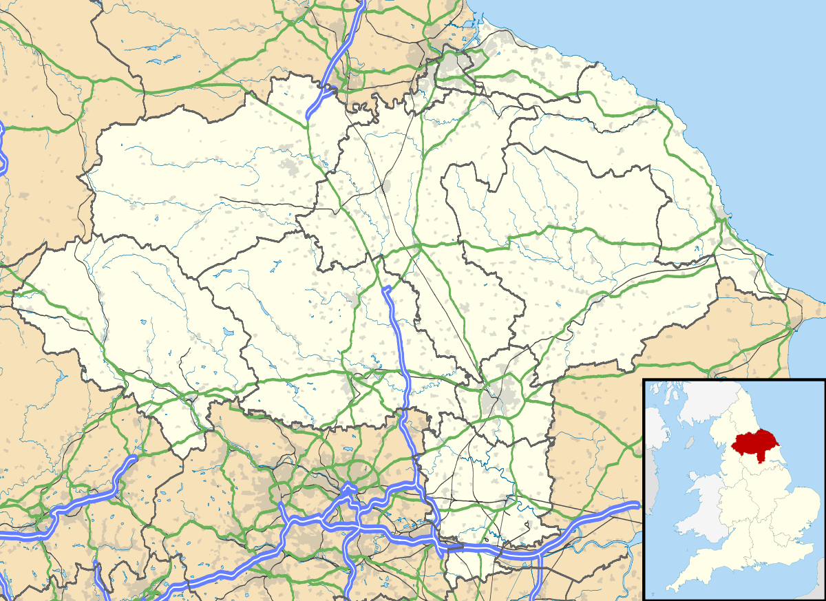
| Civil parish | Patrick Brompton |
| District | Richmondshire |
| Shire county | North Yorkshire |
| Region | Yorkshire and the Humber |
| Country | England |
| Sovereign state | United Kingdom |
| Post town | Darlington |
| Postcode district | DL8 |
| Dialling code | 01677 |
| Police | North Yorkshire |
| Fire | North Yorkshire |
| Ambulance | Yorkshire |
| EU Parliament | Yorkshire and the Humber |
Coordinates: 54°18′42″N 1°39′48″W / 54.31153°N 1.66323°W
Patrick Brompton is a village and civil parish in the Richmondshire district of North Yorkshire, England. Patrick Brompton is situated about 4 miles (6.4 km) west of Bedale. It lies on the A684. It has a population of 167. St Patrick's Church is located in the centre of the village as well as the village pub, called The Green Tree.[2] The village is approximately 235 miles from London and 35 miles from Middlesbrough. The nearest primary school is Crakehall C of E Primary School in Great Crakehall, 1.2 miles away.[3] The Brompton Beck runs through the centre of the village.
Parish history
In the 1880s, Patrick Brompton was described as:
- a township and a parish in Leyburn district, N. R. Yorkshire. The township lies on an affluent of the river Swale, near the Northallerton and Leyburn railway, 4 miles NW by W of Bedale.[4]
The village of Patrick Brompton and other villages in the parish are mentioned in the Domesday Book which was completed in 1086. When published, there were 27 households in the village consisting of 22 villagers and 5 smallholders. The 'Hundred', Count Alan also had 195 other places including Bedale and Bellerby.[5] The name 'Patrick Brompton' derives from the personal name 'Patrick' and Brompton derives from broom, a thorny bush or shrub and 'tun' deriving from an enclosure; a village; an estate.[6] Patrick Brompton is also mentioned on the GENUKI website and in the 1820s, described as:
- Patrick Brompton, (or East Brompton) a parish in the wapentake of Hang East & liberty of Richmondshire; 3½ miles NW. of Bedale. Here is a church dedicated to St. Patrick; the living is a Perpetual curacy, in the patronage of the Bishop of Chester. Here is a school endowed with about £20. per annum. Population, 158.[7]
St Patrick is the one church in the village which belongs to the Church of England Diocese of Ripon and Leeds.[8]

Other villages in the parish are Arrathorne, Hunton and Newton Le Willows.[9] According to the 2011 census data, 137 people follow Christianity.[10]
Population and Industry
It had a population of 167 according to the 2011 census.[11] By looking at 2011 census data we can see the age structure of the village. The mean age of the village is 49.8 and the age variable with the highest number is 45 to 59 with 50 people. This is 29.9% of the population.[12] This suggests that the population of the village are of working ability and leave the village everyday for work purposes. On the right you can see a population time series graph showing the population of Patrick Brompton from 1801 to 2011. It displays a sharp drop in population around 1850. From the 1881 census data, we can see that agriculture is a primary source of work or occupation with 20 people from the village working in that field.[13] Census data from 2011 now shows that the male population of Patrick Brompton work primarily in construction with 10 people, then 8 males working in manufacturing.[14]

The dramatic drop in population around 1850 could be because the parish boundaries have changed over time.
Transportation
The A684 runs through the village and the A1 motorway is approximately 5 miles to the east of the village and 4 hours direct to London. The nearest railway station is 8.77 miles away in Northallerton which lies on the East Coast Main Line. There is also a station in Thirsk which is 12.85 miles away also lying on the East Coast Main Line.[15] The nearest international airport is Leeds Bradford International Airport approximately an hour away.
Housing
According to the Office for National Statistics, there are 83 dwellings in Patrick Brompton, 48 of these being detached houses or bungalows.[16] The average asking house price in Patrick Brompton is £309,000. In the history of housing in the village there was a sharp decrease in homes in the village from 265 in the 1851 census. to 36 in the 1881 census.[17] This is similar, in the population figures, this could be because parish boundaries changed over this time.
Places of interest
9 miles away from Patrick Brompton is the National Trust property, Braithwaite Hall which is a popular tourist attraction.[18] There is also a caravan site nearby in Crakehall called Herons Pond Caravan Park.[19]
Climate
The average climate in Patrick Brompton ranges from a high of 20.4 degrees Celsius in July and a low of 1.4 degrees Celsius in December.[20]
References
- ↑ "Civil Parish population 2011". Neighbourhood Statistics. Office for National Statistics. Retrieved 8 August 2015.
- ↑ "Green Tree, Patrick Brompton". Retrieved 15 March 2013.
- ↑ "Primary schools near Patrick Brompton". Retrieved 26 March 2013.
- ↑ Wilson, John (1870–72). Imperial Gazetteer of England and Wales. Edinburgh: A. Fullarton and Co. Retrieved 4 February 2013.
- ↑ "Patrick Brompton". Retrieved 26 March 2013.
- ↑ Ekwall, E; Mills, A.D. Dictionary of English Place Names. p. 68; 80–1.
- ↑ "Patrick Brompton". Retrieved 28 March 2013.
- ↑ "Patrick Brompton: St Patrick, Patrick Brompton". Retrieved 15 March 2013.
- ↑ "The Ancient Parish of Patrick Brompton". Retrieved 15 March 2013.
- ↑ "Patrick Brompton (Parish): Key Figures for 2011 Census: Quick Statistics". Religion. Office for National Statistics. Retrieved 15 March 2013.
- ↑ "Patrick Brompton (Parish): Key Figures for 2011 Census: Key Statistics". Neighbourhood Statistics. Office for National Statistics. Retrieved 4 February 2013.
- ↑ "Patrick Brompton (Parish): Key Figures for 2011 Census: Age Structure". Neighbourhood Statistics. Office for National Statistics. Retrieved 27 March 2013.
- ↑ "Patrick Brompton". Retrieved 27 March 2013.
- ↑ "Patrick Brompton (Parish): Key figures for 2011 Census: Key Statistics". Industry-males 2011. Office for National Statistics. Retrieved 27 March 2013.
- ↑ "Patrick Brompton". Retrieved 25 March 2013.
- ↑ "Patrick Brompton (parish) Key Figures for 2011 Census: Key Statistics". Neighbourhood Statistics. Office for National Statistics. Retrieved 26 March 2013.
- ↑ "Patrick Brompton Housing Statistics". Retrieved 26 March 2013.
- ↑ "Braithwaite Hall". Retrieved 27 March 2013.
- ↑ "Herons Pond Caravan Site". Retrieved 27 March 2013.
- ↑ "Weather for Patrick Brompton in England, United Kingdom". Retrieved 28 March 2013.
External links
![]() Media related to Patrick Brompton at Wikimedia Commons
Media related to Patrick Brompton at Wikimedia Commons