Pekisko, Alberta
| Pekisko | |
|---|---|
| unincorporated community | |
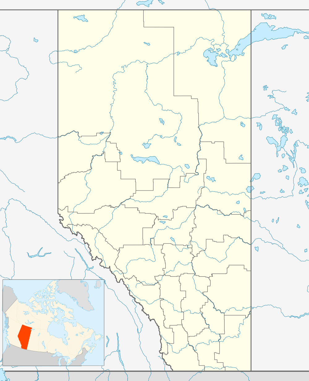 Location of Pekisko in Alberta | |
| Coordinates: 50°25′58″N 114°09′38″W / 50.43278°N 114.16056°WCoordinates: 50°25′58″N 114°09′38″W / 50.43278°N 114.16056°W | |
| Country |
|
| Province |
|
| Census division | No. 6 |
| Municipal district | Municipal District of Foothills No. 31 |
| Government | |
| • Type | Unincorporated |
| Time zone | MST (UTC-7) |
Pekisko is an unincorporated community in southern Alberta, Canada. It is located in the Municipal District of Foothills No. 31, west of the junction of Cowboy Trail and Highway 540, 35 kilometers (22 mi) south of High River and 19 km (12 mi) south of Longview.
It lies in the Canadian Rockies foothills, north of the Highwood River, at an elevation of 1,215 m (3,986 ft), and is the center of the Pekisko Rangeland, an area of livestock grazing and agriculture. Oil and gas is an increasing part of the economy.
The name Pekisko originates from the Blackfoot Cree language "i ta pisko", meaning rolling foothills.[1]
The Pekisko Formation (Mississippian limestone) of the Rundle Group was named after this community. A hybrid of Pisum sativum (pea) was also named Pekisko after this area.[2]
History
After touring Canada in 1919, the Prince of Wales bought a cattle ranch which became known as the Prince of Wales Ranch or the E.P. Ranch. The E.P. brand used on the ranch stood for "Edward Prince". Prince Edward later became the King of Canada. In 1925, the cowboy movie star Hoot Gibson was filmed in scenes at the E.P. Ranch as part of the Hollywood movie The Calgary Stampede.[3]
Geography
Climate
| Climate data for Pekisko | |||||||||||||
|---|---|---|---|---|---|---|---|---|---|---|---|---|---|
| Month | Jan | Feb | Mar | Apr | May | Jun | Jul | Aug | Sep | Oct | Nov | Dec | Year |
| Record high °C (°F) | 26.7 (80.1) |
24.4 (75.9) |
19.4 (66.9) |
30.6 (87.1) |
29.5 (85.1) |
32.8 (91) |
36.1 (97) |
32.8 (91) |
32.8 (91) |
28.3 (82.9) |
26.7 (80.1) |
18.3 (64.9) |
36.1 (97) |
| Average high °C (°F) | −1.8 (28.8) |
0.1 (32.2) |
3.2 (37.8) |
8.7 (47.7) |
13.8 (56.8) |
18.1 (64.6) |
21.1 (70) |
20.4 (68.7) |
15.6 (60.1) |
10.9 (51.6) |
2.7 (36.9) |
−1 (30) |
9.3 (48.7) |
| Daily mean °C (°F) | −8.6 (16.5) |
−6.7 (19.9) |
−3.4 (25.9) |
2 (36) |
6.9 (44.4) |
10.7 (51.3) |
13.1 (55.6) |
12.6 (54.7) |
8.1 (46.6) |
3.8 (38.8) |
−3.5 (25.7) |
−7.7 (18.1) |
2.3 (36.1) |
| Average low °C (°F) | −15.4 (4.3) |
−13.5 (7.7) |
−9.9 (14.2) |
−4.8 (23.4) |
−0.1 (31.8) |
3.3 (37.9) |
4.9 (40.8) |
4.7 (40.5) |
0.6 (33.1) |
−3.4 (25.9) |
−9.8 (14.4) |
−14.4 (6.1) |
−4.8 (23.4) |
| Record low °C (°F) | −46.7 (−52.1) |
−46.1 (−51) |
−42.8 (−45) |
−31.1 (−24) |
−25.6 (−14.1) |
−8.9 (16) |
−3.9 (25) |
−6.1 (21) |
−22.2 (−8) |
−31 (−24) |
−40.5 (−40.9) |
−46.7 (−52.1) |
−46.7 (−52.1) |
| Average precipitation mm (inches) | 39.3 (1.547) |
36 (1.42) |
49.9 (1.965) |
66.7 (2.626) |
82.6 (3.252) |
86.9 (3.421) |
66.9 (2.634) |
84.3 (3.319) |
62.2 (2.449) |
37.3 (1.469) |
35.1 (1.382) |
35.3 (1.39) |
682.6 (26.874) |
| Source: Environment Canada[4] | |||||||||||||
References
- ↑ Pekisko Group. "About the Pekisko". Archived from the original on 28 September 2007. Retrieved 2007-06-19.
- ↑ Canadian Food Inspection Agency (2007). "Pekisko Peas". Retrieved 2007-06-19.
- ↑ Simon M. Evans (1992). Prince Charming Goes West: The Story of the E.P. Ranch.
- ↑ Environment Canada—. Retrieved 6 April 2010.
External links
- Pekisko Group (Rangeland Conservation)
 |
Kananaskis Country | Longview | High River | |
| Bighorn Highway | |
Nanton | ||
| ||||
| | ||||
| Canadian Rockies | Chain Lakes Provincial Park | Stavely |