Pequabuck Bridge
|
Pequabuck Bridge | |
 | |
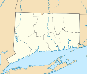  | |
| Location | Meadow Rd. at Pequabuck River, Farmington, Connecticut |
|---|---|
| Coordinates | 41°43′0.1″N 72°50′23.2″W / 41.716694°N 72.839778°WCoordinates: 41°43′0.1″N 72°50′23.2″W / 41.716694°N 72.839778°W |
| Area | less than one acre |
| Built | 1832–1833 |
| NRHP Reference # | 84001049[1] |
| Added to NRHP | July 19, 1984 |
The Pequabuck Bridge, which currently carries a paved hike and bike trail across the Pequabuck River in Farmington, Connecticut, was built in 1833. It was listed on the National Register of Historic Places in 1984.[1] The bridge was previously known as Meadow Road Bridge and used to carry vehicular traffic on Meadow Road across the river. Meadow Road now uses a more modern bridge with the original bridge now used exclusively for bicycle and pedestrian traffic. It is notable as a rare example of a town-funded stone bridge, given the cost of building in stone at the time. The town decided on stone for construction of this bridge because it was at the time a vital and heavily used crossing.[2]
See also
- National Register of Historic Places listings in Hartford County, Connecticut
- List of bridges on the National Register of Historic Places in Connecticut
References
- 1 2 National Park Service (2010-07-09). "National Register Information System". National Register of Historic Places. National Park Service.
- ↑ Matthew Roth; Bruce Clouette & John Herzan (February 20, 1984). "National Register of Historic Places Inventory/Nomination: Pequabuck Bridge / Meadow Road Bridge" (PDF). National Park Service. and accompanying eight photos from 1984
| Topics | |
|---|---|
| Lists by states |
|
| Lists by insular areas | |
| Lists by associated states | |
| Other areas | |
| |
This article is issued from Wikipedia - version of the 11/29/2016. The text is available under the Creative Commons Attribution/Share Alike but additional terms may apply for the media files.