Perdido Key Historic District
|
Perdido Key Historic District | |
  | |
| Location | Escambia County, Florida |
|---|---|
| Nearest city | Warrington |
| Coordinates | 30°19′32″N 87°19′34″W / 30.32556°N 87.32611°WCoordinates: 30°19′32″N 87°19′34″W / 30.32556°N 87.32611°W |
| Area | 6 acres (2.4 ha) |
| NRHP Reference # | 80000404[1] |
| Added to NRHP | March 10, 1980 |
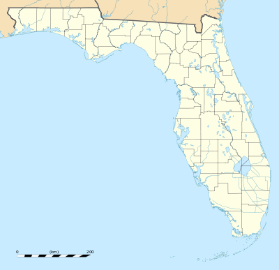
The Perdido Key Historic District is a U.S. historic district (designated as such on March 10, 1980) located southwest of Warrington, Florida. The district is a 6-acre (24,000 m2) section on the eastern tip of Perdido Key. The area was formerly a separate islet known as Foster's Bank, where Fort McRee was built.
References
- ↑ National Park Service (2010-07-09). "National Register Information System". National Register of Historic Places. National Park Service.
External links
- Escambia County listings at National Register of Historic Places
- Florida's Office of Cultural and Historical Programs

This article is issued from Wikipedia - version of the 11/25/2016. The text is available under the Creative Commons Attribution/Share Alike but additional terms may apply for the media files.